Wildlife Habitat Surveys and Conservation Efforts
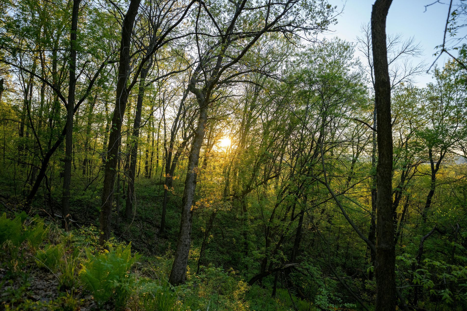
In the intricate dance of sustainable land management, balancing timber production with wildlife conservation is not just an ethical imperative but a practical necessity. Forests serve dual roles as economic resources and vital ecosystems, harboring diverse species that contribute to biodiversity, soil health, and carbon sequestration. However, intensive logging can disrupt habitats, leading to species decline and ecological imbalances. At Grade Timber, we bridge this gap through innovative drone services that enable non-intrusive habitat surveys, empowering landowners to preserve biodiversity while optimizing timber yields. By minimizing human interference, our approach fosters harmonious coexistence between commercial activities and nature's intricate web.
Traditional wildlife surveys often involve ground teams trekking through dense forests, which can be disruptive, time-consuming, and hazardous. These methods risk stressing animals, altering behaviors, and yielding incomplete data due to limited access. Drones revolutionize this by providing aerial vantage points that capture comprehensive insights without footprint impacts. Equipped with advanced sensors, UAVs allow for precise mapping and monitoring, ensuring conservation efforts are data-driven and effective.
The Grade Timber Methodology: Non-Intrusive Aerial Surveillance
Our drone services at Grade Timber employ state-of-the-art UAVs fitted with thermal imaging, multispectral cameras, and LiDAR to conduct habitat surveys that are both thorough and respectful to wildlife. Thermal drones detect heat signatures, enabling the tracking of elusive species even under canopy cover or at night, without disturbing their natural behaviors.wildlifedrones.net For instance, thermal imaging makes the invisible visible, locating animals over any terrain with high efficiency.onlinelibrary.wiley.com Multispectral sensors analyze vegetation health and habitat quality, identifying areas of degradation or biodiversity hotspots through indices like NDVI.
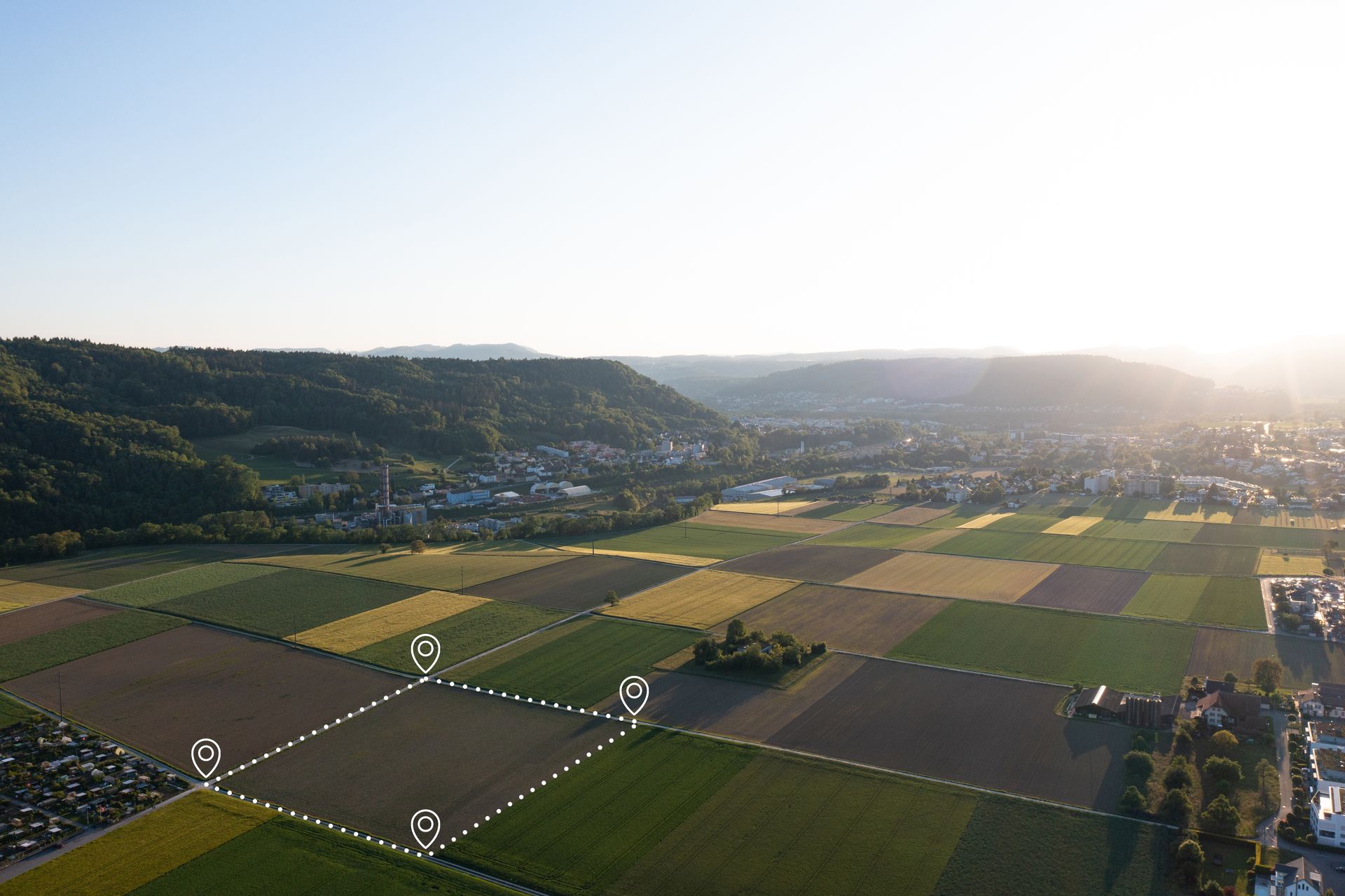
The process is meticulously planned: Flights are scheduled during low-disturbance periods, with drones operating at altitudes that avoid startling wildlife—guidelines informed by U.S. Fish & Wildlife Service recommendations to prevent harassment.fws.gov Data collection involves systematic grid patterns for full coverage, generating 3D habitat models that map features like nesting sites, migration corridors, and water sources. AI algorithms process this imagery to classify species, count populations, and detect anomalies, achieving accuracies up to 93% in optimal conditions for species like manatees. This non-invasive technique aligns with global standards, supporting UN Sustainable Development Goals by aiding in habitat management without ecological footprint.
Surveys demonstrate remarkable efficiency: Drones cover vast areas in hours, providing quicker, safer, and more competent solutions compared to traditional methods.boddyenvironmental.co.uk In forest health assessments, UAVs collect data on biodiversity and wildlife populations, offering aerial perspectives that enhance monitoring.garudsurvey.com For thermal applications, detection probabilities increase in open canopies (over 30% visibility), with cloudy conditions optimizing results.pmc.ncbi.nlm.nih.gov
Real-World Applications: Case Studies in Poaching Prevention and Habitat Mapping
The practical value of drone-assisted surveys shines in diverse conservation scenarios. In anti-poaching efforts, UAVs equipped with thermal cameras patrol protected areas, detecting intruders and alerting rangers in real-time. A study in Kenya showcased drones mapping degraded habitats, logging sites, and supporting anti-poaching patrols, integrating with GIS for optimized operations. Penn State researchers applied GIS and drones to elephant conservation, predicting poacher behavior and improving detection, reducing risks in high-threat zones.psu.edu In tropical forests, drones enhanced patrols by identifying illegal activities, as seen in a herpetological study where UAVs aided in logging detection and poaching prevention.herpconbio.org
Habitat mapping benefits immensely too. In Argentina's Valdés Peninsula, drones with deep learning enumerated marine species like elephant seals, achieving F1 scores of 0.7-0.9 for population metrics amid threats like avian influenza. For koalas in Australian eucalyptus plantations, infrared drone imagery and biologically inspired algorithms detected individuals with over 27% better performance than traditional methods, addressing occlusion challenges. In Panama, YOLOv8-powered drones classified manatees in the Canal Basin, using over 57,000 images for demographic analysis with mAP exceeding 90%. Waterfowl surveys employed AI for bird detection (86.57% mAP) and habitat segmentation (85.1% accuracy), generating reports for wetland conservation. LiDAR drones identified field hamster burrows in agricultural fields, detecting 20 of 23 entrances with an F1-score of 0.83, supporting endangered species management.
These case studies, from DJI's anti-poaching initiatives to WWF's habitat assessments, illustrate drones' role in mapping, surveillance, and protection.enterprise-insights.dji.com At Grade Timber, we adapt these technologies for timberlands, surveying species like deer or birds to inform selective harvesting that preserves corridors.
Compelling Benefits for Landowners and Ecosystems
The advantages of drone-based habitat surveys extend to economic, ecological, and social realms. Landowners qualify for incentives like conservation easements or carbon credits by demonstrating biodiversity stewardship, enhancing property value through certified sustainable practices. Reduced conflicts arise as precise data minimizes disputes with environmental regulators or communities, fostering goodwill. Surveys show drones improve counts, assess changes, and monitor inaccessible habitats, leading to better management decisions.basc.org.uk
Economically, efficiency gains are substantial: Drones reduce survey costs by providing faster data acquisition, as noted by USDA NRCS for engineering applications adaptable to wildlife.nrcs.usda.gov Ecologically, non-disruptive monitoring protects sensitive species, with thermal drones boosting detection in conservation efforts.covertdrones.com Broader benefits include safer operations—no human risk in rugged terrains—and comprehensive data for long-term planning.besjournals.onlinelibrary.wiley.com A survey of wildlife professionals revealed benefits like improved accuracy and concerns addressed through ethical use.wildlife.onlinelibrary.wiley.com
Looking Ahead: Innovations in Conservation Technology
The future holds promise with AI integrations for predictive modeling, such as forecasting habitat shifts due to climate change. Advances in radio telemetry drones will enhance tracking, while regulatory frameworks evolve to maximize benefits.wildlifedrones.net At Grade Timber, we're pioneering these, including hybrid systems for real-time alerts on poaching or degradation.
Partner with Grade Timber for Sustainable Stewardship
In essence, drone-enabled wildlife habitat surveys are pivotal for conserving biodiversity amid timber production. By offering non-intrusive, efficient tools, Grade Timber helps landowners achieve sustainability goals, protect ecosystems, and unlock value. Contact us today for a consultation and elevate your conservation efforts.