The Grade Timber Methodology: Harnessing Drone Power for Superior Insights
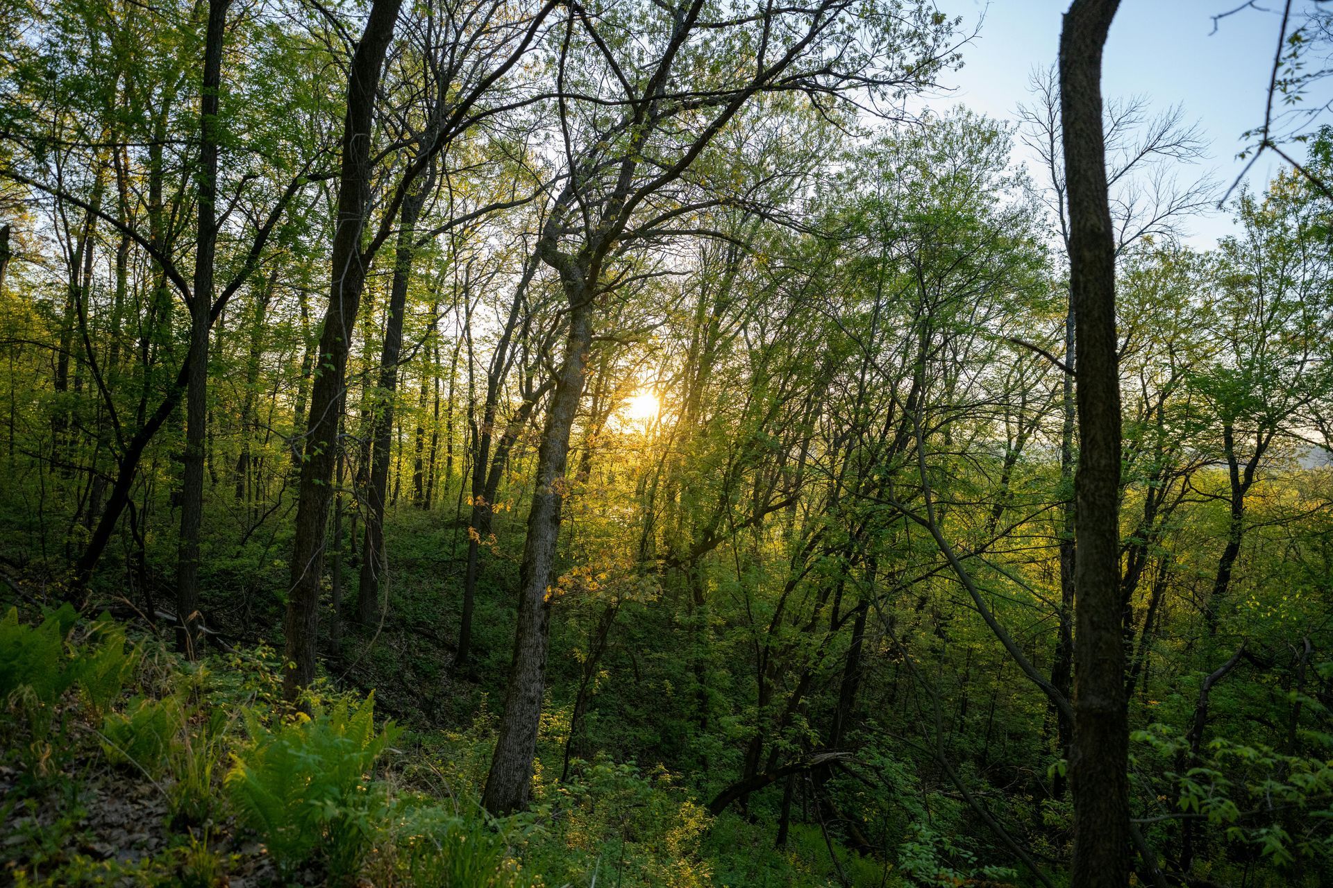
At Grade Timber, our approach leverages cutting-edge UAVs equipped with photogrammetry and LiDAR (Light Detection and Ranging) sensors to conduct thorough property assessments. These drones soar above the canopy, capturing high-resolution images and laser pulses that penetrate foliage to map the forest floor and tree structures in exquisite detail. Photogrammetry stitches thousands of overlapping photos into detailed 3D models, while LiDAR provides point clouds that accurately measure elevations and distances, even in dense undergrowth.sphengineering.com This dual-technology setup allows us to generate precise 3D representations of entire forest stands, quantifying key metrics such as tree height, diameter at breast height (DBH), crown width, and overall volume.
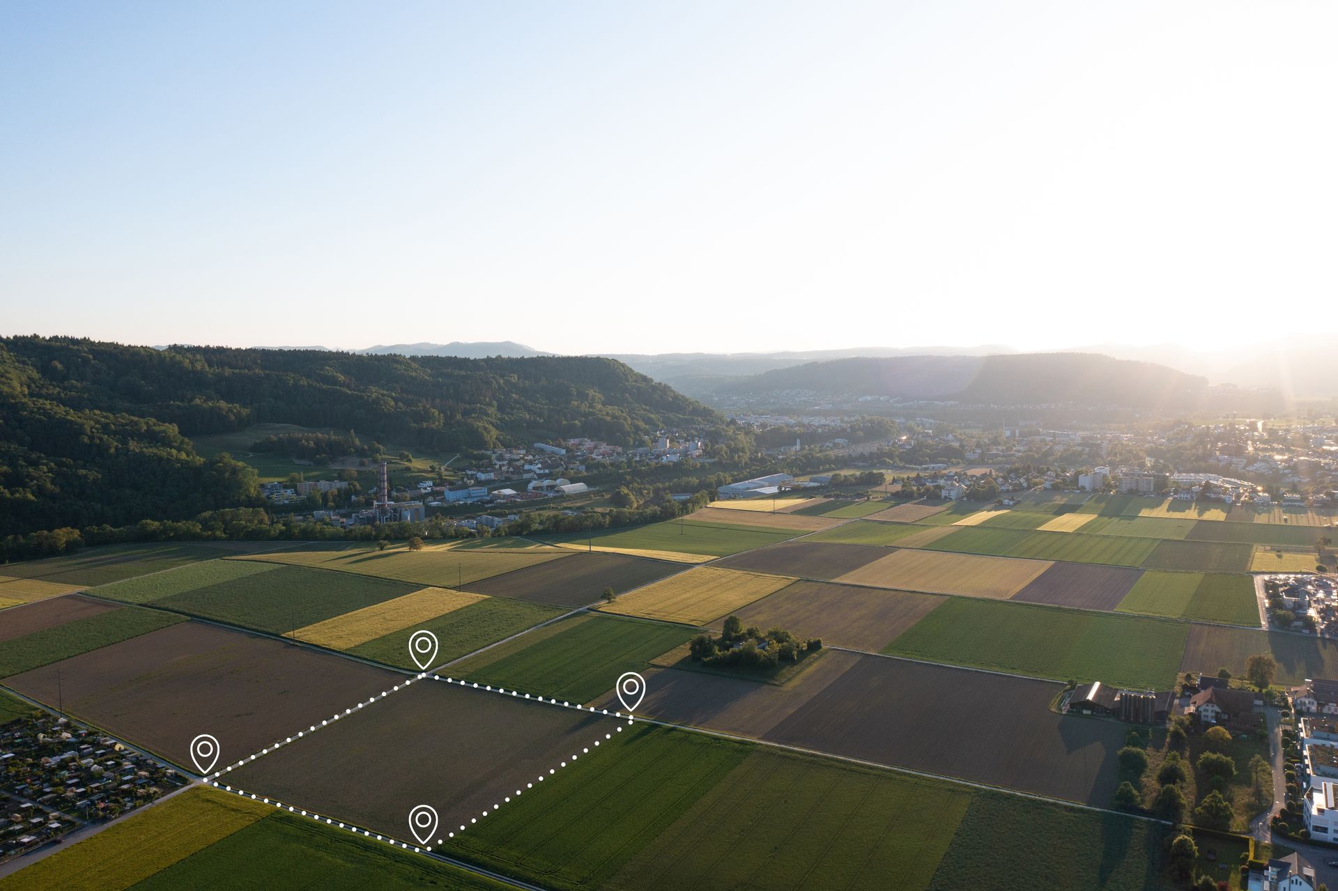
Unlike traditional sampling, which might cover only 5-10% of a property through plot-based measurements, our drone scans achieve near-complete coverage. For instance, in Pinus radiata plantations—a common species in commercial forestry—UAV evaluations deliver granular insights into stand density, health indicators like canopy gaps or disease spots, and biomass distribution. Studies have shown that such methods outperform ground-only approaches, particularly in varied topographic conditions where accessibility is a challenge.agremo.com By combining aerial data with selective field verification, we minimize extrapolation errors, yielding valuations that are not only more accurate but also verifiable through digital models.
The process begins with mission planning: Our certified drone pilots program flight paths tailored to the property's size and features, ensuring optimal overlap for data integrity. Flights typically last 20-60 minutes per hectare, depending on complexity, and the raw data is processed using specialized software to create orthomosaics, digital surface models (DSMs), and volume calculations. LiDAR's ability to measure with centimeter-level precision is particularly valuable for volume estimation, as it directly computes wood volume per hectare without destructive sampling.learn.rockrobotic.com This non-invasive technique preserves the forest while providing metrics that align with industry standards, such as those from the U.S. Forest Service or international forestry guidelines.
Real-World Applications: From Inaccessible Terrains to Market-Ready Valuations
The practical advantages of drone-assisted timber appraisal are evident in diverse scenarios. In remote or steep areas where traditional crews face safety risks or logistical hurdles, UAVs offer safe, complete coverage, reducing errors associated with incomplete data.esri.com For example, the U.S. Department of Agriculture has highlighted how high-resolution drone imagery enhances accuracy in resource assessments, enabling better inventory of merchantable timber.nrcs.usda.gov At Grade Timber, we incorporate additional factors like current market trends, species composition (e.g., hardwoods vs. softwoods), site accessibility, and even
environmental variables such as soil quality or proximity to mills. This holistic evaluation ensures that our appraisals are not just numbers but actionable insights for sales, loans, or management plans.
Consider a case study from a mid-sized Pinus plantation in the Pacific Northwest: Using our drone methodology, we identified variations in tree health due to pest infestation that ground surveys had missed, adjusting the valuation downward by 15% to reflect reduced merchantable volume. This prevented an overvalued sale and allowed the landowner to implement targeted interventions, ultimately increasing long-term yields.sciencedirect.com Similarly, in a European context, German forest managers surveyed in recent studies reported adopting drones for their flexibility in monitoring stand development, leading to more precise timber value
estimates.sciencedirect.com Another compelling example comes from UAV LiDAR applications in forest management, where surveys have facilitated accurate biomass and carbon calculations for sustainable harvesting.routescene.com These real-world implementations underscore how drones bridge the gap between data scarcity and informed strategy.
Compelling Benefits for Landowners and the Industry
The benefits of precision timber valuation extend far beyond accuracy—they translate into tangible economic and environmental gains. Landowners equipped with reliable appraisals can negotiate higher sale prices or secure favorable loan terms, as lenders value the reduced risk from data-backed assessments. Cost efficiencies are striking: Drone surveys can slash assessment expenses by 50-80% compared to manual methods, thanks to shorter field times and fewer personnel equirements.heliguy.com This is particularly advantageous for large properties, where traditional appraisals might take weeks, while drones complete the job in days.
Sustainability is another key pillar. Optimized harvesting based on precise volume maps minimizes waste, preserves biodiversity, and supports regenerative practices. By identifying high-value trees or areas for selective cutting, we help maintain ecosystem health while maximizing returns. Case studies in forestry drone applications demonstrate up to 300% productivity gains in monitoring, allowing for better financial decisions and reduced environmental impact.spheredrones.com.au Moreover, drones aid in post-harvest evaluations, tracking regrowth and compliance with regulations like those from the Forest Stewardship Council.
From a broader industry perspective, these technologies foster precision forestry—a data-driven paradigm that enhances resource allocation. In one study on stone pine plantations, drone-based measurements for tree attributes improved timber volume estimation accuracy over conventional tools, highlighting the method's reliability across species.sciencedirect.com As climate change intensifies challenges like wildfires and pests, timely appraisals via UAVs enable proactive management, safeguarding assets against emerging threats.
Looking Ahead: Integrations and the Future of Precision Forestry
The horizon for timber valuation is bright, with integrations like Geographic Information Systems (GIS) poised to elevate our capabilities further. By overlaying drone data with GIS layers—such as soil maps, climate projections, or transportation networks—we can refine valuations with unprecedented detail, supporting advanced precision forestry initiatives.afry.com Emerging AI algorithms will automate tree species identification and health scoring, reducing processing times even more. Companies like TreeSwift, which raised significant funding for drone-based tree monitoring, exemplify this trend toward AI-driven insights.dronelife.com At Grade Timber, we're committed to staying ahead of these innovations, ensuring our clients benefit from the latest tools. As the forestry sector evolves, embracing drone technology isn't just an option—it's essential for competitiveness and stewardship.
Maximize Your Timber's Worth Today
In conclusion, precision timber valuation through drone technology represents a paradigm shift, turning forested assets into well-understood, high-value resources. By mitigating the pitfalls of inaccuracy and inefficiency, Grade Timber empowers landowners to make decisions that align with both profit and planet. If you're ready to unlock the true potential of your property, contact us for a personalized consultation. Let's elevate your timber appraisal to new heights—literally.
Thought for 85s
Monitoring Forest Health and Disease Detection
In an era where forests face escalating threats from climate change, invasive pests, and environmental stressors, maintaining forest health is paramount for ecological balance, economic viability, and sustainable timber production. Forests are not just carbon sinks and biodiversity hotspots; they are vital assets for landowners, supporting industries like timber harvesting and recreation. However, undetected diseases and pests can lead to devastating losses, with outbreaks capable of wiping out entire stands in months. Traditional monitoring methods, such as ground patrols and manual surveys, are often labor-intensive, time-consuming, and inadequate for covering vast or inaccessible areas. At Grade Timber, we address these challenges head-on with cutting-edge drone services that leverage multispectral sensors and AI for early detection, empowering landowners to protect their investments proactively.
The vitality of forests hinges on vigilant health monitoring, where early identification of issues like nutrient deficiencies, drought stress, or biotic threats can prevent widespread damage. Pests such as bark beetles or diseases like pine wilt can spread rapidly, reducing timber yields by up to 50% if not addressed romptly.prism.sustainability-directory.com Conventional approaches rely on visual inspections or satellite imagery, but these fall short in resolution and frequency, often missing subtle early signs. Drone technology bridges this gap, offering high-resolution, on-demand surveillance that detects anomalies before they become visible to the naked eye.