Enhancing Forest Inventory Management Through Aerial Mapping
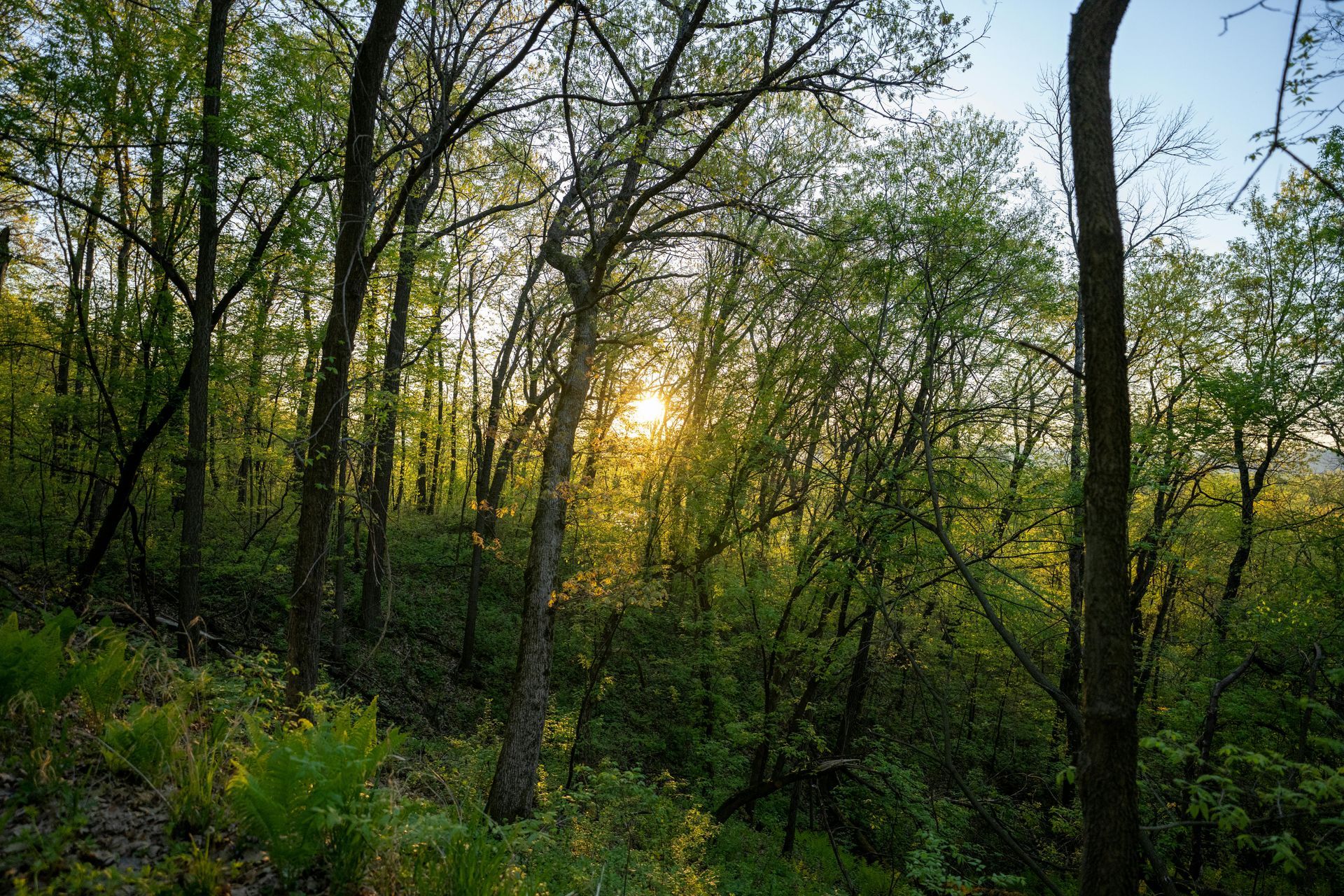
In the intricate world of modern forestry, where sustainability meets profitability, accurate forest inventory management stands as a critical pillar for landowners aiming to optimize their resources. Traditional methods, reliant on manual ground surveys and sporadic satellite imagery, often fall short in providing the timely, precise data needed for effective decision-making. At Grade Timber, we are pioneering the integration of drone technology into forest inventory processes, offering landowners a transformative service that leverages aerial mapping for enhanced efficiency and insight. Our drone-based aerial mapping services deliver
high-resolution, real-time data, enabling landowners to track tree counts, stockpile volumes, and overall forest health with unprecedented accuracy.
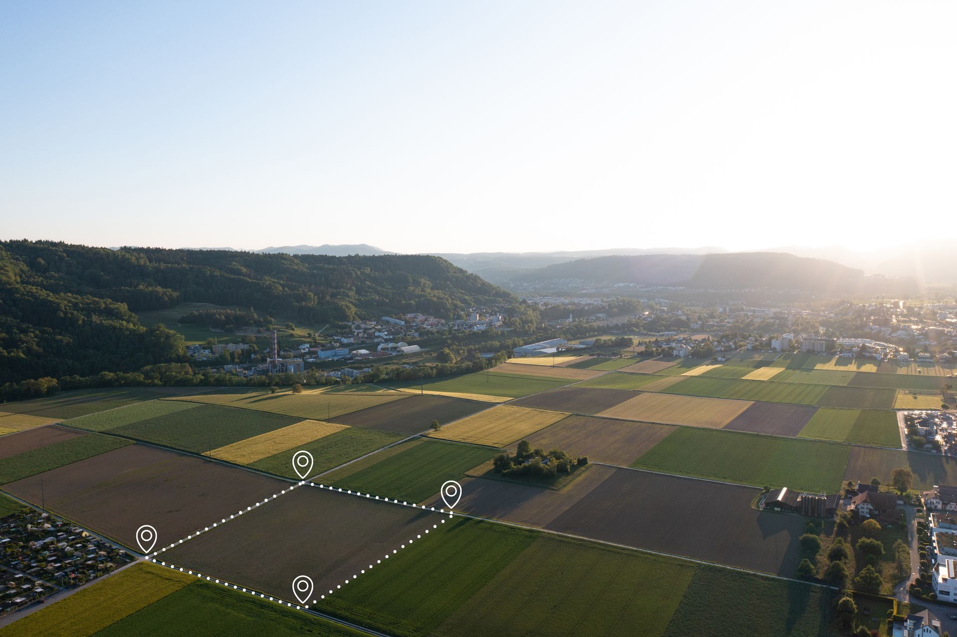
The process begins with deploying advanced unmanned aerial vehicles (UAVs) equipped with high-resolution cameras, LiDAR sensors, and multispectral imaging capabilities. These drones conduct systematic flights over forested areas, capturing detailed imagery and generating GIS-compatible maps. For instance, drones can survey up to 100 hectares in a single flight, producing data on tree heights, diameters, and canopy density with accuracies exceeding 95%.upcommons.upc.edu This is a stark improvement over conventional ground-based inventories, which are labor-intensive and prone to errors due to inaccessible terrain or human oversight. Studies from the U.S. Forest Service highlight how transitioning from aerial photography to digital imagery, including drone data, enhances operational efficiency in forest management.research.fs.usda.gov At Grade Timber, we process this raw data using specialized software to create 3D models and orthomosaic maps, allowing for precise tree counting and volume estimations that integrate seamlessly with existing GIS systems. One of the key advantages of our service is the ability to conduct frequent, cost-effective inventories. Traditional surveys might require weeks and large teams, but drones reduce fieldwork by up to 70%, minimizing costs and risks.repository.lib.ncsu.edu For example, in tropical forests, remote sensing via drones helps map economically important species, increasing resource value by providing detailed phenology and composition data.pmc.ncbi.nlm.nih.gov This is particularly beneficial for carbon inventory assessments, where drones estimate biomass and sequestration potential, aiding compliance with sustainability certifications and unlocking carbon credit opportunities.pmc.ncbi.nlm.nih.gov Case
studies, such as those from the Alabama Cooperative Extension System, demonstrate how drones supplement field methods by revealing understory features and canopy details that ground surveys miss.experts.esf.edu
Landowners benefit profoundly from this technology. Enhanced data accuracy leads to better yield predictions, optimized harvesting schedules, and reduced over- or under-extraction, potentially boosting revenue by 20-30% through informed market negotiations.fs.usda.gov
Safety is another major gain; by avoiding hazardous areas like steep slopes, drones lower injury risks for personnel.spatial.usc.edu Environmentally, this promotes sustainable practices by enabling proactive monitoring of changes post-storms or pest outbreaks, preserving ecosystem integrity.blogs.oregonstate.edu In community-based monitoring, small drones empower tropical landowners to manage forests better, benefiting from partner collaborations while conserving
biodiversity.citeseerx.ist.psu.edu
Looking ahead, the fusion of drone data with AI and machine learning at Grade Timber promises even greater precision. For instance, integrating UAV imagery with tower observations for phenological studies allows for long-term tracking of forest dynamics. This not only supports adaptive management but also aligns with global trends toward precision forestry, where data-driven insights minimize environmental impact.
At Grade Timber, our aerial mapping service is tailored to your property's unique needs, whether it's a small woodland or expansive commercial forest. We provide comprehensive reports, consultations, and ongoing support to translate data into actionable strategies. By embracing this technology, landowners achieve operational efficiency, economic gains, and sustainable stewardship. Contact us today to schedule a drone inventory session and elevate your forest management to new heights.
Precision Timber Valuation and Appraisal
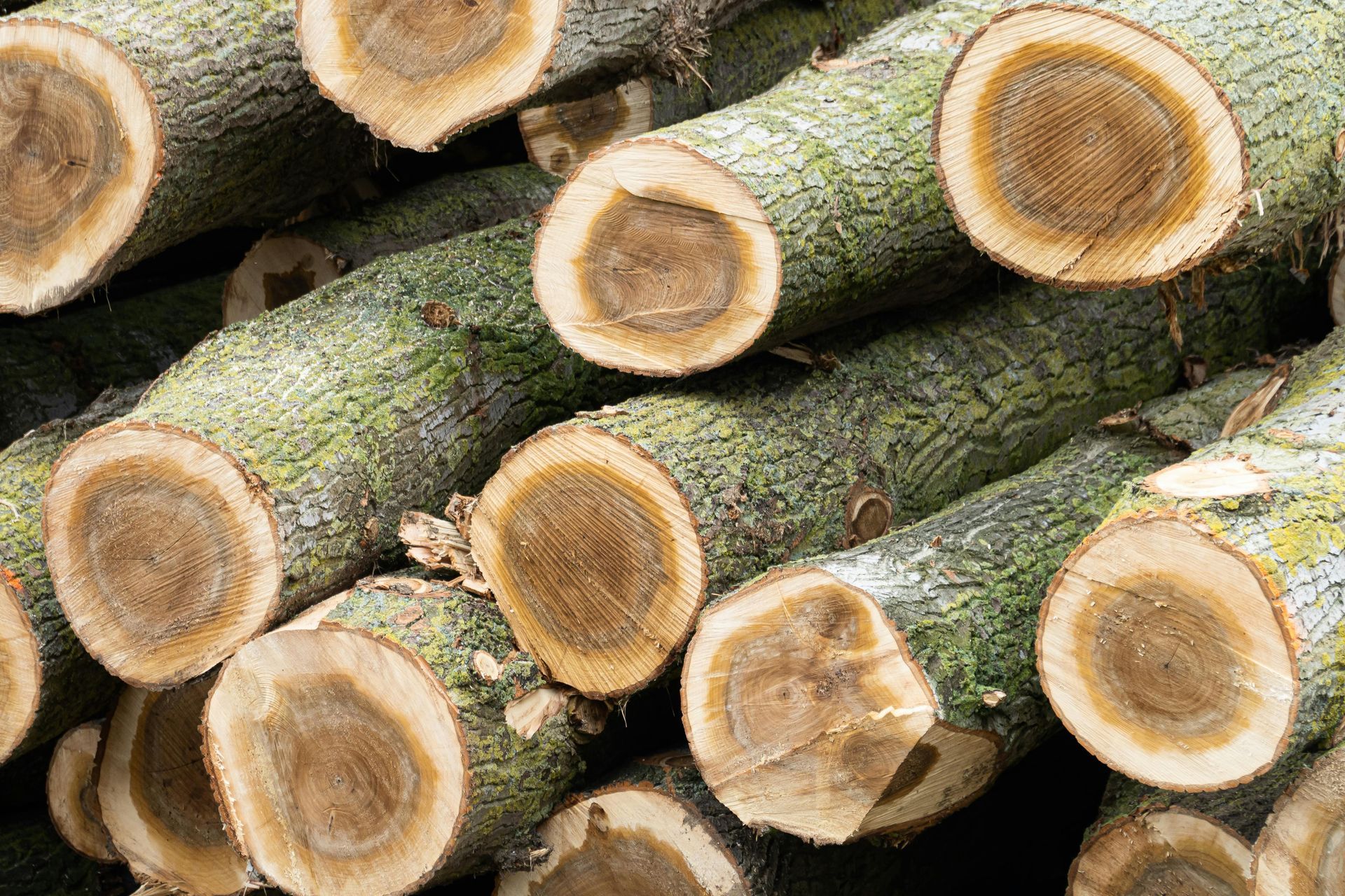
In the world of land management and natural resources, timber valuation stands as a cornerstone for informed decision-making. Far beyond a mere financial calculation, it serves as a strategic instrument that empowers landowners to harness the full potential of their forested holdings. Whether you're a private landowner, a timber investment firm, or a conservation organization, understanding the true worth of your timber assets can mean the difference between thriving sustainability and regrettable oversights. Inaccurate appraisals often result in undervalued sales, inefficient harvesting practices, or overlooked opportunities for investment and growth. At Grade Timber, we are at the forefront of transforming this critical process through innovative drone technology, delivering precise, data-driven valuations that blend accuracy with efficiency.
Traditional timber appraisal methods have long relied on manual field sampling, where foresters traverse properties to measure a subset of trees and extrapolate data across entire stands. While effective to a degree, these approaches are labor-intensive, time-consuming, and prone to human error, especially in rugged or expansive terrains. Sampling errors can lead to discrepancies of up to 20-30% in volume estimates, as limited data points fail to capture the full variability of a forest. However, advancements in unmanned aerial vehicles (UAVs) are revolutionizing this field, offering comprehensive scans that surpass conventional techniques.academic.oup.com By integrating drone-derived data with ground-based samples, precision improvements of this magnitude become achievable, ensuring valuations reflect reality more closely