Optimizing Timber Harvest Planning with LiDAR Technology
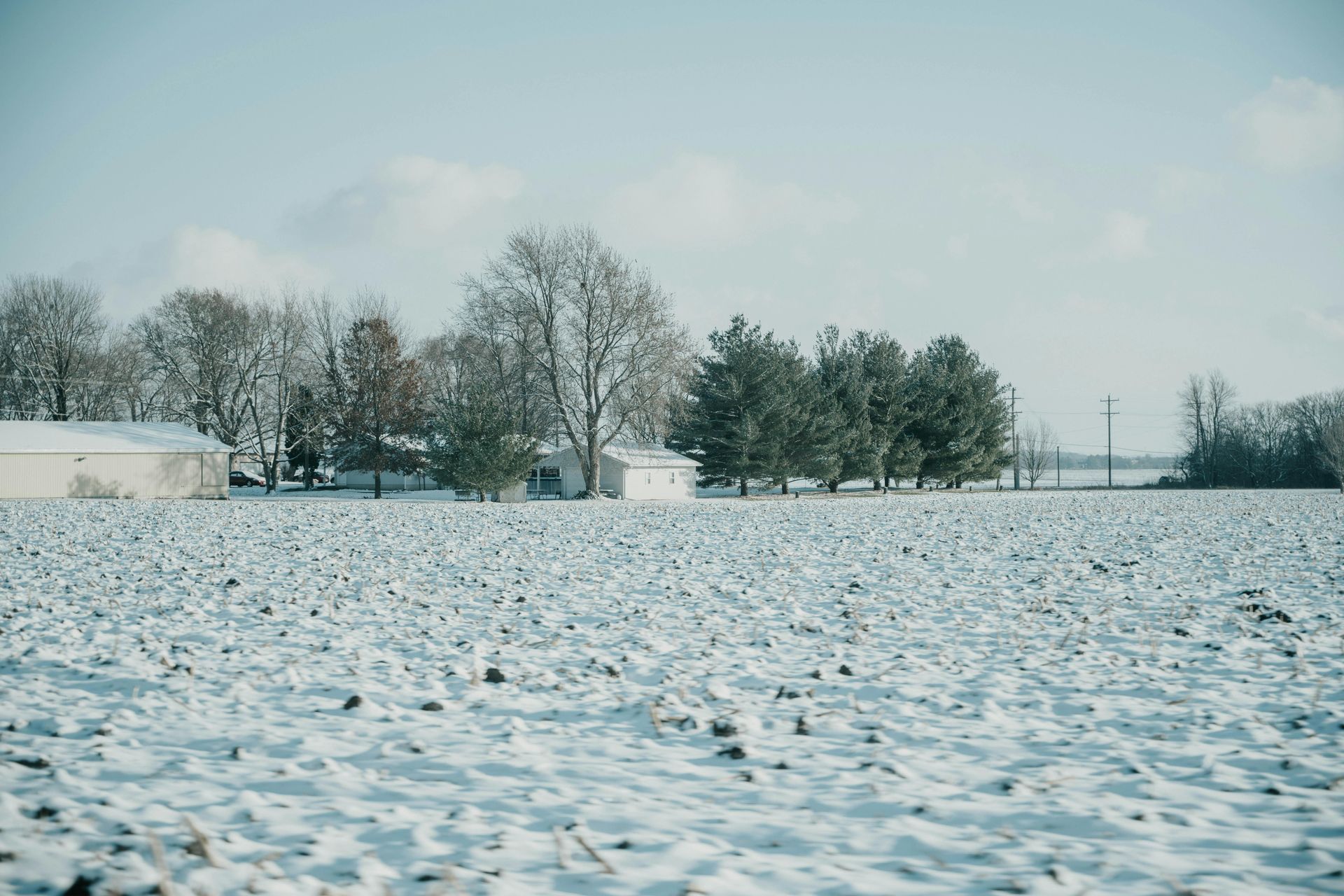
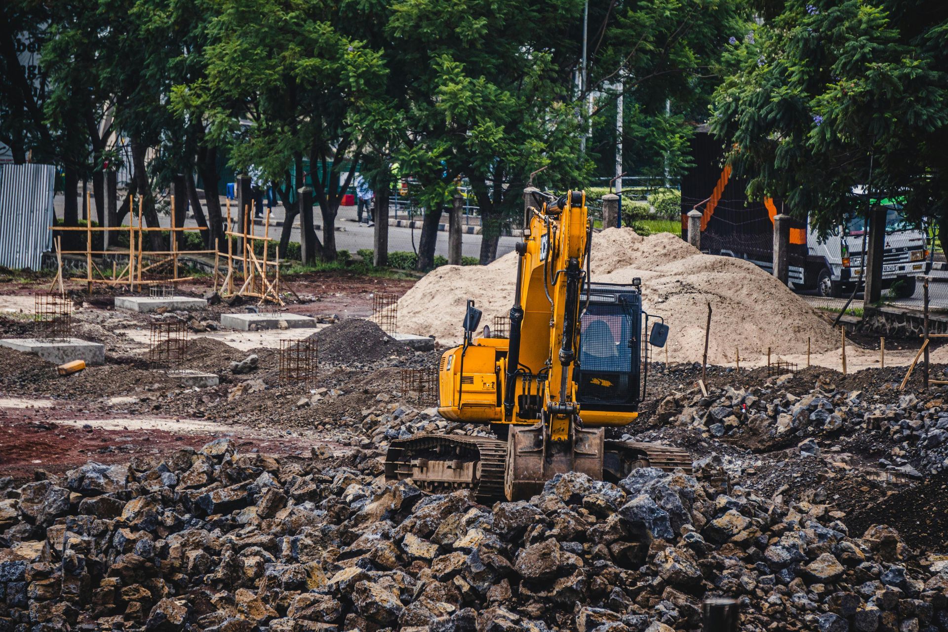
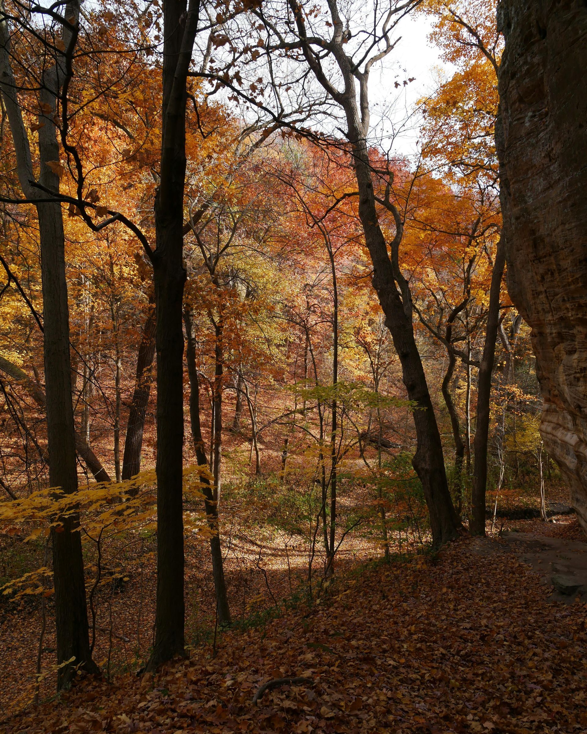
Planning a timber harvest in Illinois' diverse landscapes requires more than intuition; it demands precise terrain and volume data to avoid costly mistakes. Manual methods often overlook hidden features like gullies or uneven slopes, leading to inefficient operations or environmental harm. Grade Timber, an expert in aerial drone mapping services, utilizes LiDAR integration to provide landowners with accurate 3D models, optimizing harvest planning for efficiency and sustainability.
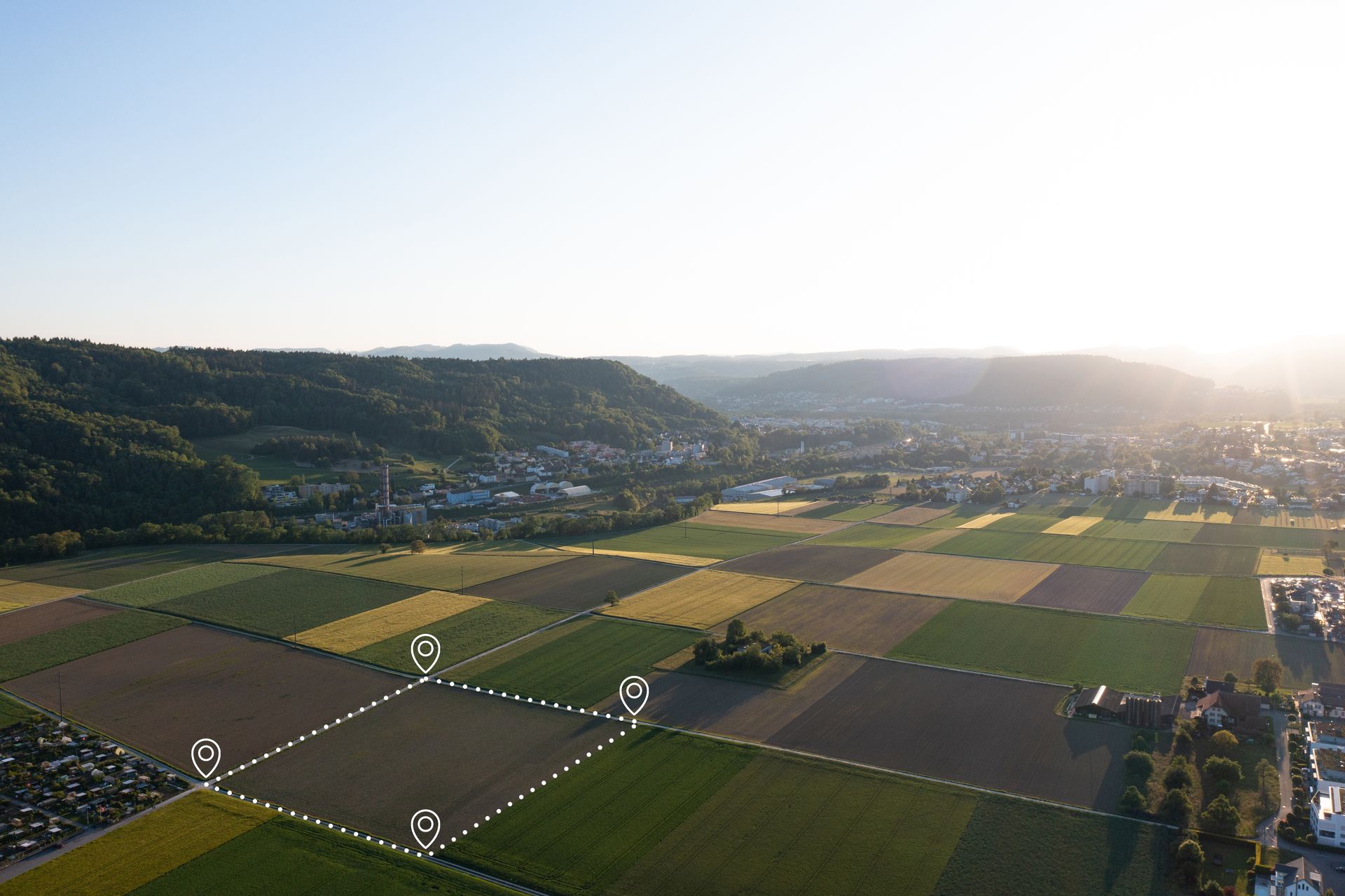
LiDAR—Laser Imaging Detection and Ranging—emits pulses to measure distances, penetrating canopies for ground-level details. Grade Timber's drones handle payloads under 9 kg, supporting LiDAR for tree height and volume estimations, terrain modeling, and canopy analysis. This creates detailed digital terrain models (DTMs) and canopy height models (CHMs), revealing forest structure invisible from the ground.
The workflow: Free consultation identifies harvest goals, followed by on-site collection where drones fly extended missions, capturing data swiftly at up to 56 mph. Reports include 3D visualizations, aiding in route planning and machinery selection to minimize compaction.
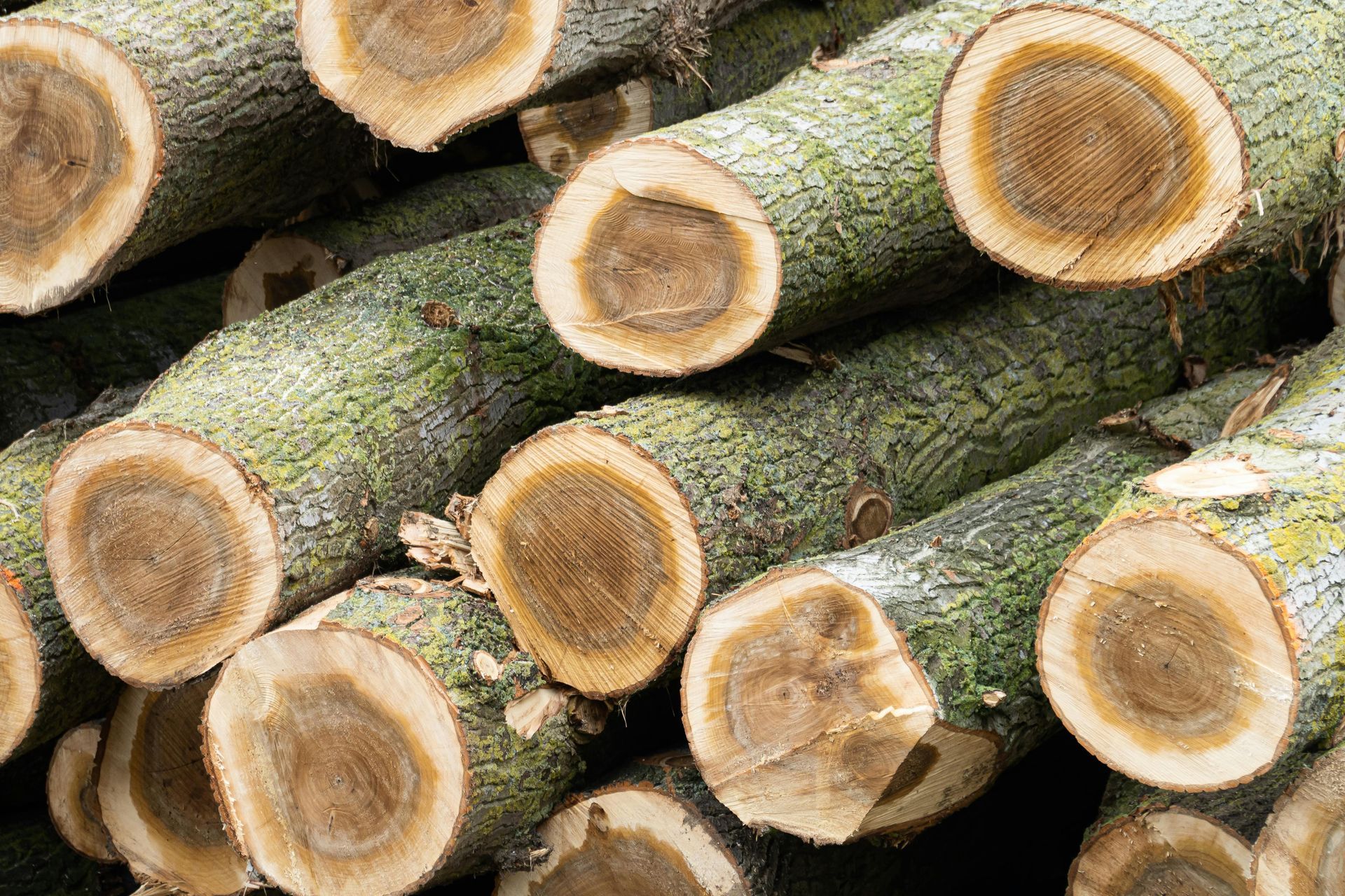
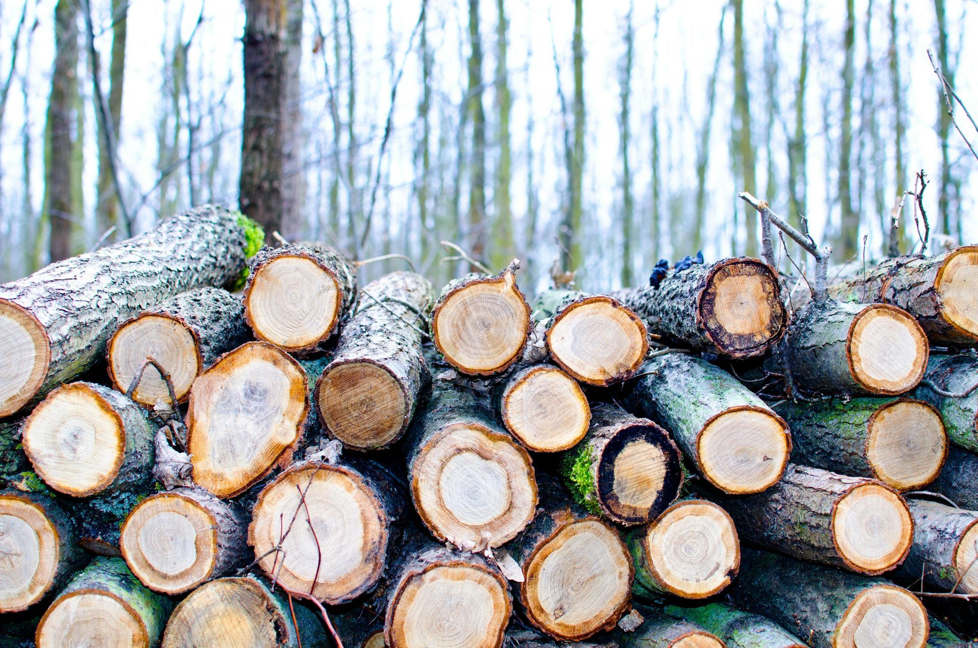
Benefits include volume accuracy within centimeters, enabling landowners to calculate merchantable timber precisely, aligning cuts with market demands. In sloped Illinois terrains, LiDAR identifies erosion risks, guiding buffer zones around streams. For selective harvesting, it maps individual trees, preserving seed sources for regeneration.
Planning extends to post-harvest; LiDAR data predicts regrowth, supporting rotation plans. Integration with multispectral enhances by correlating structure with health.
Safety ensures reliable data; drones' endurance and connectivity facilitate quick insights.
Without LiDAR, harvests risk overcutting or accidents. Grade Timber's services mitigate this, fostering profitable, eco-friendly plans.
Contact Grade Timber to revolutionize your harvest strategy.