Early Detection of Pests and Diseases through Multispectral Sensing
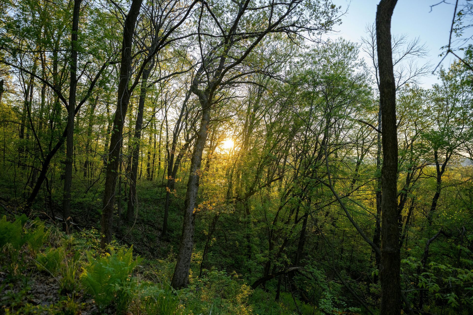
Landowners in central and southern Illinois know that their forests are living ecosystems, vulnerable to invisible threats like pests and diseases that can decimate stands overnight.
Traditional scouting methods—walking transects or spot-checking trees—often detect issues too late, after significant damage has occurred. Grade Timber, a premier provider of aerial drone mapping services, addresses this with multispectral sensing, offering landowners a proactive approach to vegetation health monitoring. This technology empowers you to identify problems early, safeguarding your land's productivity and longevity.
Multispectral sensors on Grade Timber's drones capture data across multiple wavelengths, beyond what the human eye can see. This includes near-infrared and red-edge bands that reveal plant stress indicators, such as chlorophyll levels or water content. For Illinois landowners dealing with common foes like emerald ash borer or oak wilt, these sensors detect subtle changes in foliage health before symptoms like wilting or discoloration become apparent. Drones with fast capture rates of up to 2 frames per second and shutter speeds as quick as 1/2500 second ensure high-fidelity data even in windy conditions or varying light.
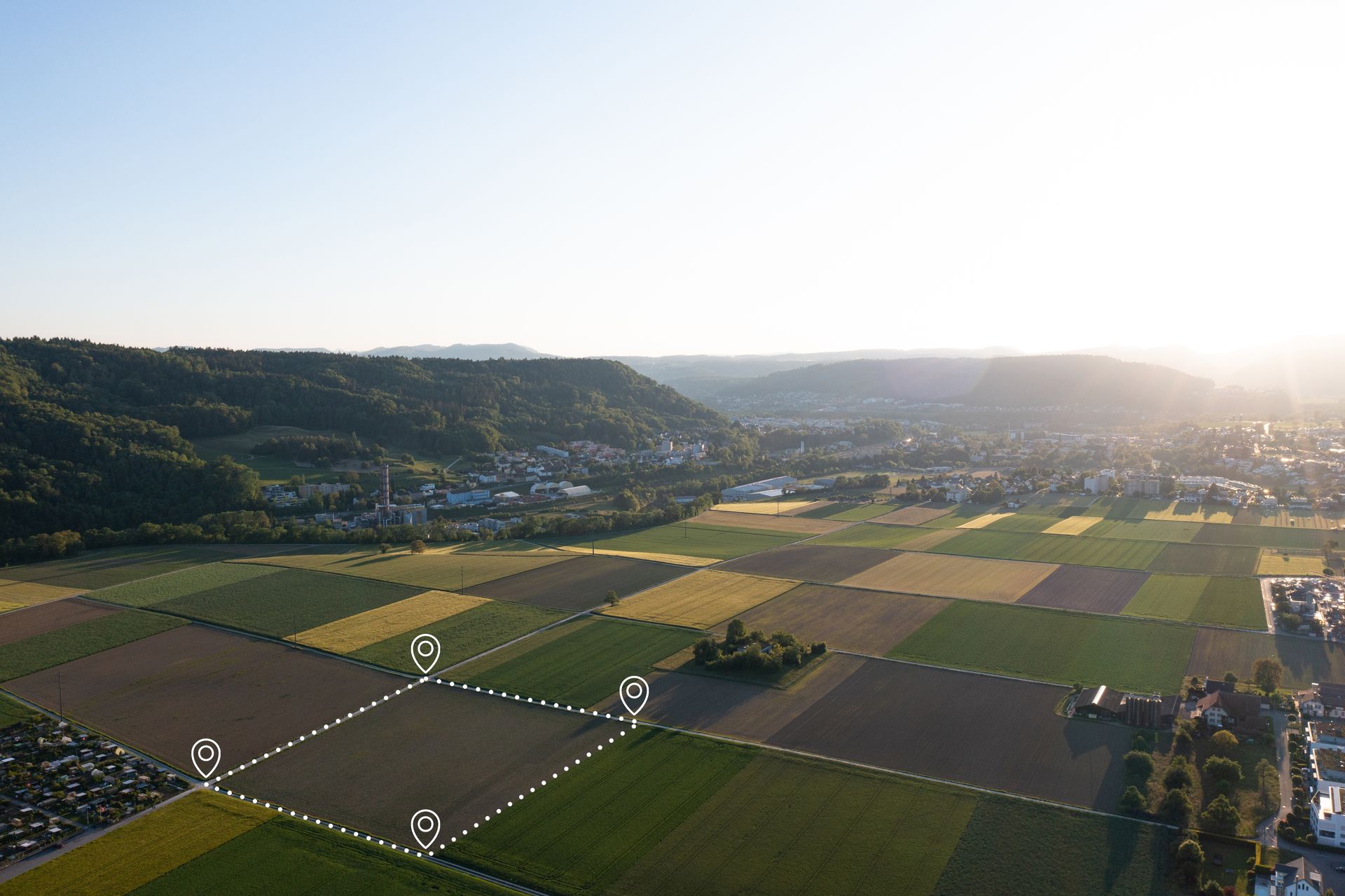
The process is straightforward yet sophisticated. Starting with a free consultation, Grade Timber assesses your specific concerns—perhaps monitoring for invasive species in mixed hardwoods. On-site, drones equipped for heavy payloads integrate multispectral cameras with other tools, covering large areas efficiently. Flights up to 43 minutes allow for thorough scans without repeated setups, minimizing disturbance to wildlife. The resulting reports provide heat maps of vegetation indices like NDVI (Normalized Difference Vegetation Index), pinpointing stressed zones for targeted intervention.
Deepening the benefits, this early detection facilitates precise planning. Landowners can quarantine affected areas, apply treatments selectively, and prevent spread, reducing chemical use and environmental impact. In planning harvests, healthy stands are prioritized, optimizing yields of valuable species. Grade Timber's thermal sensing add-on detects heat variations, identifying water-stressed trees or fungal infections that alter canopy temperatures. This is crucial in Illinois' humid summers, where diseases thrive undetected in understories.
Moreover, multispectral data supports biodiversity assessments. By monitoring health across strata—from ground cover to overstory—landowners can plan restorations that enhance resilience. For instance, detecting nutrient deficiencies early allows for soil amendments, fostering robust growth. Grade Timber's drones, with their endurance and speed, make repeated monitoring feasible, tracking changes over seasons to inform adaptive strategies.
Reliability features, like continued operation post-motor failure and real-time controls, ensure safe deployments in remote areas. Data connectivity options speed up analysis, delivering insights that integrate with GIS software for custom planning.
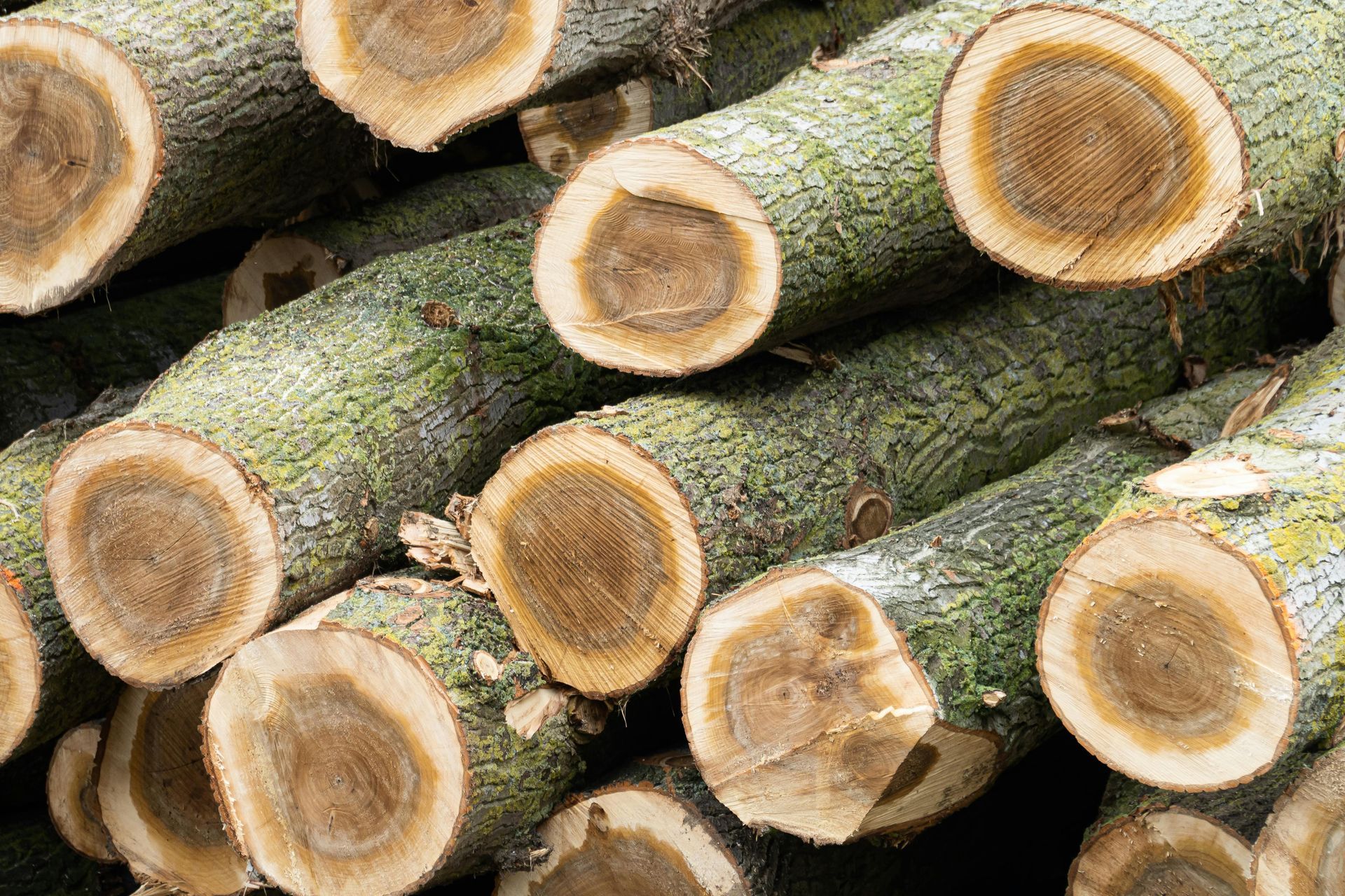
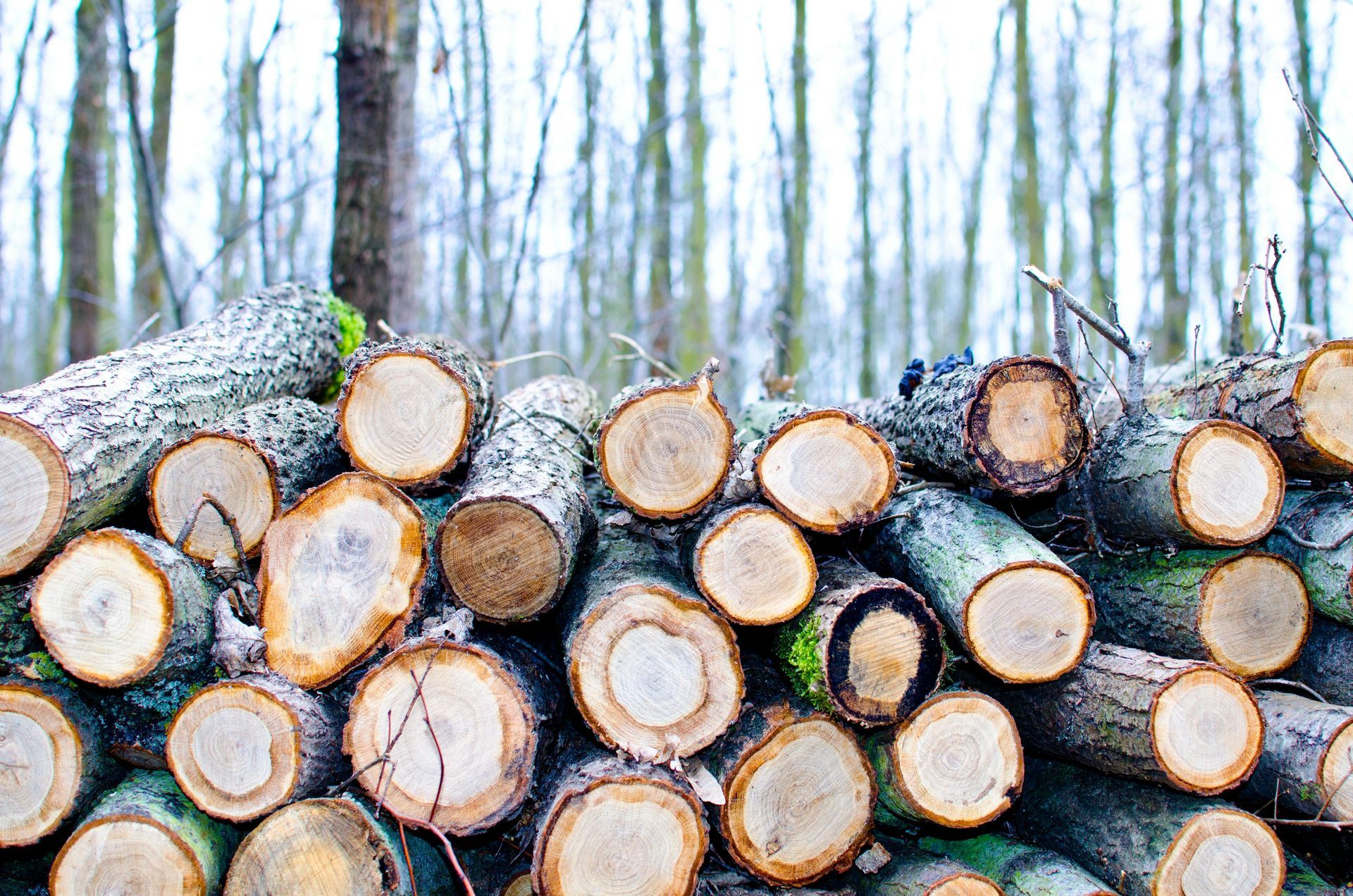
Neglecting advanced monitoring risks widespread losses; undetected pests can reduce timber value by 50% or more. Grade Timber counters this with data-backed strategies, promoting healthier forests.
Ultimately, Grade Timber's multispectral services transform how landowners detect and manage threats, ensuring sustainable planning. Reach out for your free consultation and protect your land's future.