Achieving Carbon Sequestration Goals and Environmental Compliance with Grade Timber's Drone Services
July 18, 2025
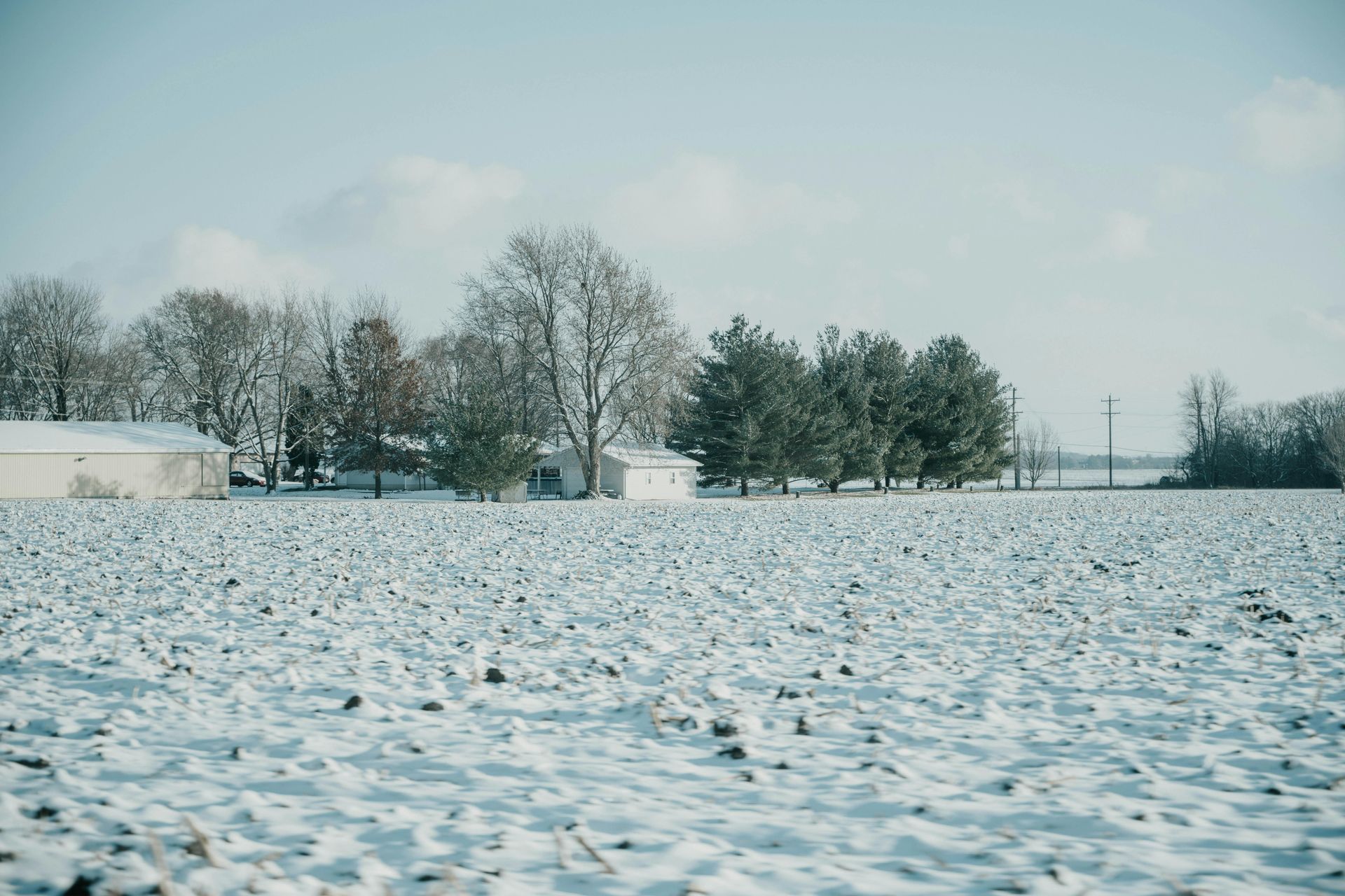
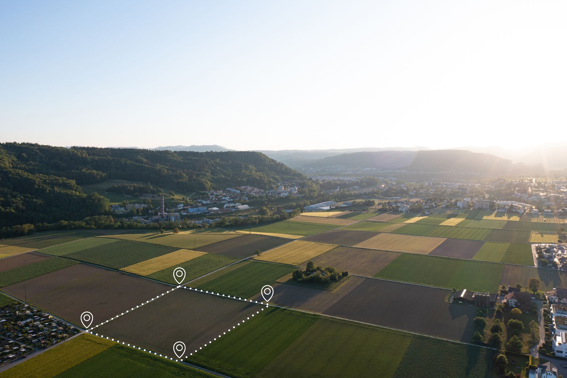
In an era of tightening environmental regulations and growing emphasis on sustainability, landowners in central and southern Illinois are increasingly focused on quantifying and enhancing their forests' carbon sequestration potential. Whether aiming for carbon credits through voluntary markets, complying with state incentives, or simply contributing to global climate efforts, accurate assessment is key. Traditional manual methods—such as caliper measurements or plot sampling— are labor-intensive, imprecise, and often overlook the full sequestration capacity hidden in complex terrains or dense canopies. This can result in undervalued assets or non-compliance with emerging standards. Grade Timber, a leading provider of aerial drone mapping services, steps in with innovative LiDAR and multispectral technologies to deliver precise, data-driven models that support eco-goals and informed land planning.
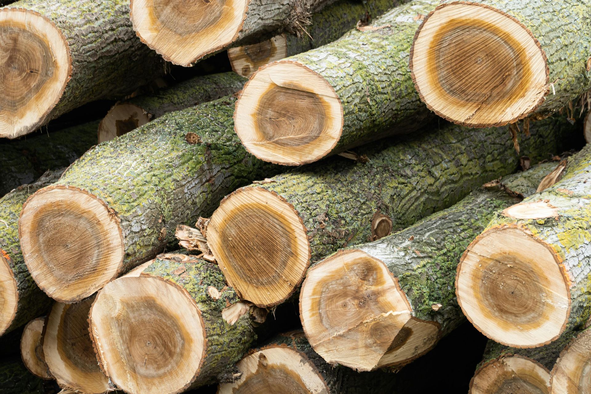
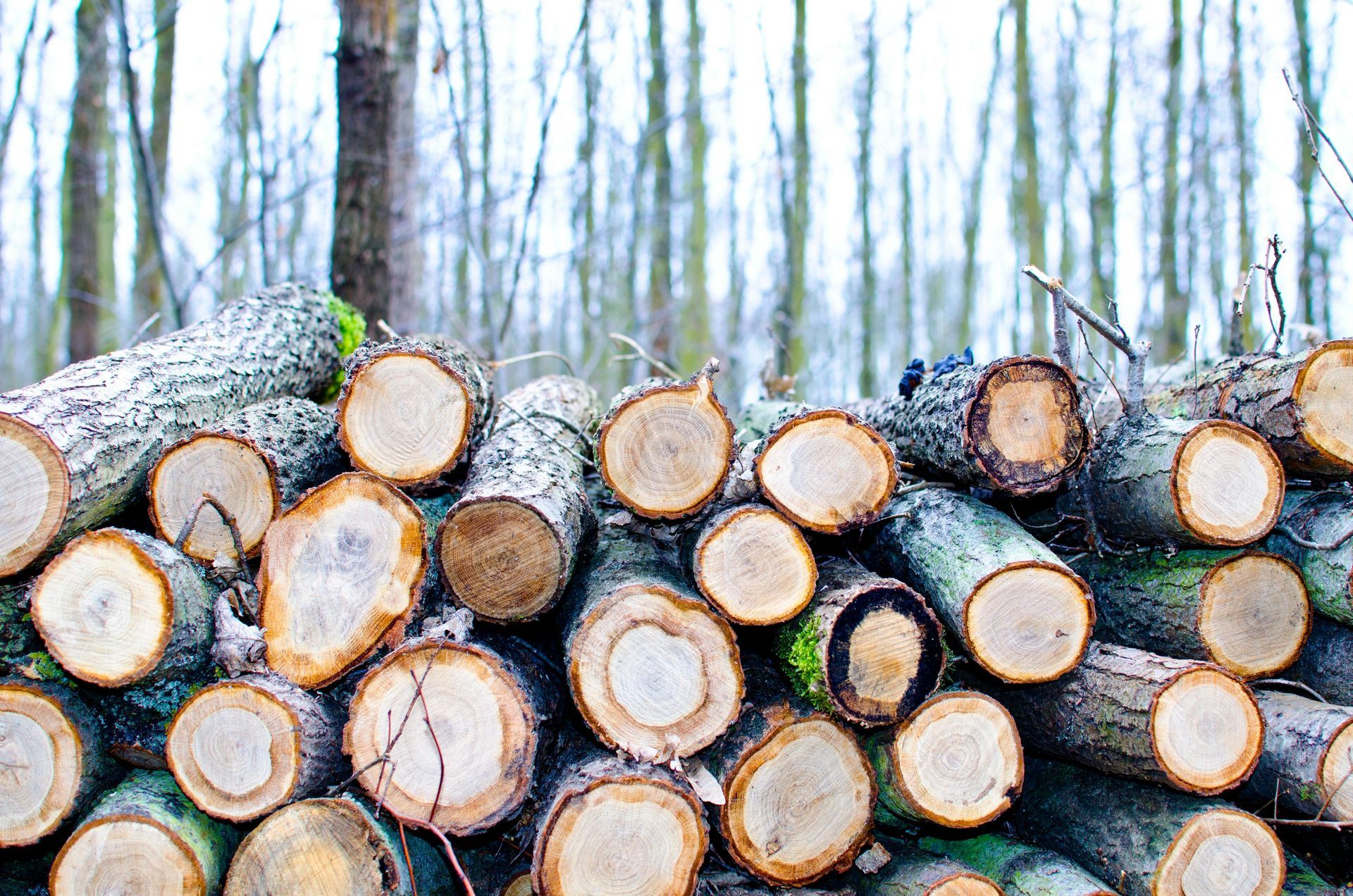
At the heart of Grade Timber's offerings is the seamless integration of LiDAR for structural mapping and multispectral sensing for vegetation health analysis. LiDAR systems, supported on drones with payload capacities under 9 kg, emit laser pulses to penetrate foliage, generating accurate 3D point clouds that estimate biomass volumes, tree heights, and canopy densities. This data feeds into algorithms that calculate carbon storage with high fidelity, accounting for species-specific factors like the dense wood of oaks prevalent in Illinois. Multispectral sensors complement this by assessing plant vigor through indices like NDVI, detecting chlorophyll content and photosynthetic activity to gauge sequestration efficiency. Together, these tools provide a holistic view, revealing how much carbon your forest is capturing and storing annually.
The workflow is streamlined for maximum value: It begins with a free consultation where Grade Timber's experts align the survey with your objectives, such as verifying compliance for Illinois' carbon offset programs or planning for enhanced sequestration. On-site data collection deploys high-performance drones with extended flight times up to 43 minutes, covering vast areas efficiently at speeds of 56 mph. Heavy payload support allows multiple sensors to operate simultaneously, capturing comprehensive datasets without ground disruption. Reliability features, like failover in motor failure scenarios and real-time controls, ensure safe operations in varied Illinois landscapes, from rolling hills to floodplain forests. The culmination is a detailed report featuring sequestration maps, biomass estimates, and scenario projections—tools that empower strategic decision-making.
The benefits extend far beyond basic quantification. Grade Timber's services verify sustainable practices, providing the verifiable data needed to participate in carbon credit programs or secure environmental certifications. For instance, accurate biomass models can demonstrate improvements from selective thinning, which enhances growth rates and sequestration in remaining trees. Landowners can plan targeted enhancements, such as reforestation with high-carbon species like black walnut, or soil management to boost root biomass. Integration with terrain data from LiDAR allows for site-specific strategies, identifying low-lying areas prone to waterlogging where sequestration might be optimized through wetland restoration. In Illinois, where agriculture and forestry intersect, this helps balance land use while maximizing carbon benefits, potentially qualifying for federal incentives under the Inflation Reduction Act.
Furthermore, multispectral analysis detects stressors like pests or drought that could impair sequestration, enabling early interventions to maintain forest health. Over time, repeated surveys track changes, supporting adaptive management in response to climate variability—such as increased flooding in southern Illinois that might affect carbon dynamics.
Drone reliability ensures data integrity; fast capture rates up to 2 frames per second and high-speed data transfers via USB-C or 10G Ethernet mean insights are delivered promptly, integrating seamlessly with GIS platforms for ongoing planning.
Without these advanced tools, compliance can falter—underestimated sequestration might lead to missed credits, regulatory fines, or inefficient land use that exacerbates emissions. Manual methods risk errors that undermine credibility in carbon markets, potentially costing opportunities for revenue from offsets.
Grade Timber facilitates the creation of sustainable legacies, blending their deep experience in Illinois timber management with cutting-edge drone technology. By quantifying and enhancing carbon sequestration, landowners not only meet environmental goals but also contribute to a greener future.
For smarter land management, visit www.gradetimber.com
or contact Grade Timber today to schedule your free consultation. Unlock the full potential of your property's role in combating climate change.

Land management in Fairfield, IL helps rural property owners protect timber value, improve wildlife habitat, and plan long-term harvesting strategies across wooded acreage.
Land clearing in McLeansboro, IL helps rural property owners prepare farmland and wooded parcels for new use. Discover how the process works and when timber value can offset costs.
Selling timber in Mount Vernon, IL lets landowners earn income from mature walnut and white oak. Learn how the process works and what Grade Timber looks for in a harvest.
Logging services in Springfield, IL help landowners manage timber, clear overgrowth, and prepare property for future use with low-impact, professional harvesting techniques.
Grade Timber provides professional forestry consulting services in St. Charles, IL helping landowners maximize property value through sustainable forest management and strategic planning.

Grade Timber offers premier excavating services in Urbana, IL including grading, pond excavation, and site preparation backed by decades of experience in land development projects.

Excellence: Grade Timber's White Oak and Walnut Veneer for Boat Builders
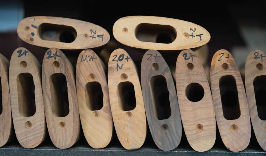
Hey there, fellow woodworking enthusiasts and firearm aficionados! If you've ever held a beautifully crafted rifle and marveled at the rich grain of its walnut stock, you might wonder about the journey that wood takes from a standing tree to that polished piece of art. Today, we're diving deep into the world of sawmills specializing in grading timbers and producing high-quality lumber specifically for gun makers. This process blends traditional craftsmanship with precise techniques to ensure the wood not only looks stunning but also performs under the rigors of shooting. Whether you're a gunsmith, a hunter, or just curious about the behind-the-scenes magic, let's break it down step by step. Selecting the Right Timber: The Foundation of Quality Gun Stocks It all starts in the forest. Gun stocks demand hardwoods that are dense, stable, and aesthetically pleasing—qualities that help absorb recoil, resist warping, and showcase beautiful figuring. Black walnut is the gold standard, often sourced from mature trees at least 24 inches in diameter for the best blanks. Other favorites include claro walnut, maple, or even cherry for historical replicas. Sawmills look for logs from old-growth trees, as these yield the dramatic patterns like fiddleback, burl, or feather crotch that elevate a stock from functional to exhibition-grade. Loggers harvest these trees carefully, cutting them into manageable lengths (often 4-6 feet for stock blanks) and transporting them to the mill. Here, the focus is on maximizing yield while preserving the wood's integrity. Defects like knots or cracks are avoided, as they can compromise the final product. The Sawmill Process: Turning Logs into Blanks At the sawmill, the real transformation begins. Portable band sawmills, like the Norwood HD38 or Woodland Mills HM126, are popular for this niche work because they allow for precise, custom cuts. The key technique? Quarter-sawing. This method involves cutting the log into quarters and then slicing perpendicular to the growth rings, producing straight-grained lumber that's less prone to warping—ideal for gun stocks. Here's a simplified breakdown of the steps: Debarking and Squaring: The log is debarked and squared into a cant (a large rectangular beam) using the mill's blade. This removes sapwood and exposes the heartwood. Slabbing and Cutting Blanks: The cant is rotated and cut into thick slabs, typically 3 inches wide and 34-54 inches long, depending on the rifle type. For black walnut, mills like those featured in custom videos aim to extract multiple blanks from a single log, maximizing the figured sections. Drying: Freshly cut blanks are air-dried or kiln-dried slowly to prevent cracking. A common tip? Seal the ends with hot wax and let them dry for 12 months. Some even hang them indoors with staples for even airflow. Rushing this with methods like alcohol soaking is possible but risky for high-end work. Take a look at this in action—here's a sawmill slicing walnut logs into potential gun stock blanks:
As a landowner in Illinois, particularly in areas like Roxana with rich hardwood forests, you might be sitting on a literal goldmine of timber. With rising demand for premium woods like black walnut and white oak, understanding how to spot and appraise valuable trees can turn your property into a profitable asset. At Grade Timber, we're passionate about empowering landowners with the knowledge to make informed decisions. This post summarizes key steps from our free Illinois Landowner's Tree Value Field Guide, drawing on expert insights and current market trends. Whether you're considering a selective harvest or just curious about your woods' worth, let's dive in.

As of early 2026, the black walnut timber market in Illinois is showing signs of stabilization and potential growth, building on a recovery from softer conditions in prior years. Black walnut remains a premium hardwood species, valued for its dark color, durability, and applications in high-end furniture, flooring, cabinetry, gunstocks, and veneer products. Market trends are influenced by domestic housing and remodeling activity, export demand (particularly to Asia), supply chain constraints, and economic factors like interest rates. While specific 2026 price reports are not yet available (Illinois Department of Natural Resources typically releases semi-annual updates), forecasts draw from late 2025 data and industry projections, indicating cautious optimism with possible price fluctuations depending on supply and demand dynamics. Illinois, with its fertile soils in regions like the southern and central parts of the state, is a key producer of black walnut, contributing to the Midwest's hardwood supply. However, challenges such as wet weather impacting logging, mill closures, and labor shortages have kept inventories lean, potentially setting the stage for price increases if demand accelerates. Overall, experts anticipate a balanced market, with walnut performing strongly compared to other hardwoods due to shifting consumer preferences toward darker, rustic woods.