Advanced Drone Forestry Mapping in Carbondale, IL
Advanced Drone Forestry Mapping in Carbondale, IL
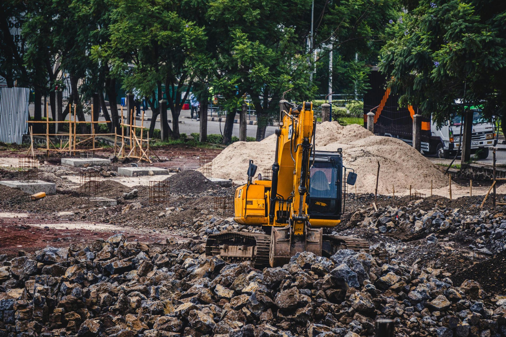
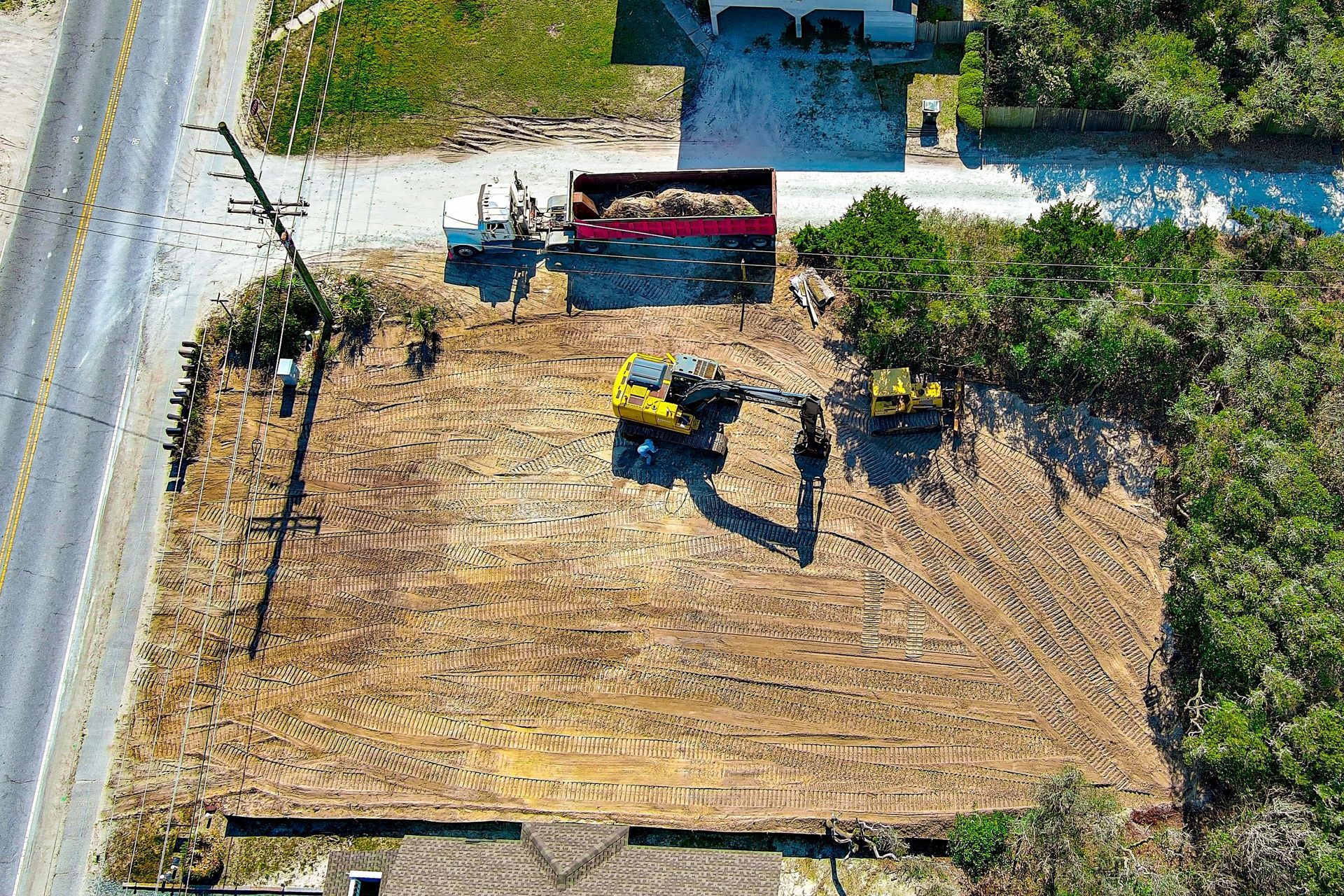
Grade Timber employs advanced drone technology services in Carbondale, IL for comprehensive forest management including high-resolution imaging, LiDAR integration, and multispectral sensing that deliver precise property assessment data for informed land management decisions.
What Is LiDAR Technology in Forestry Applications?
LiDAR uses laser pulses from airborne drones to measure ground elevation and tree heights, creating detailed three-dimensional maps of forest structure and terrain features.
The technology sends rapid laser pulses toward the ground. Sensors measure how long each pulse takes to return. This timing data calculates precise distances to create elevation models.
Forest canopy often hides ground topography. LiDAR penetrates vegetation gaps to map true ground level beneath trees. This reveals slopes, drainages, and terrain features invisible in standard aerial photos.
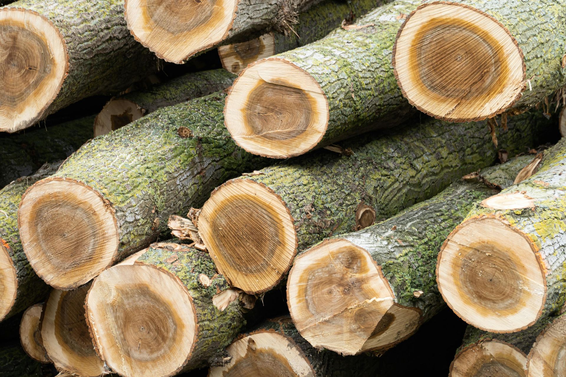
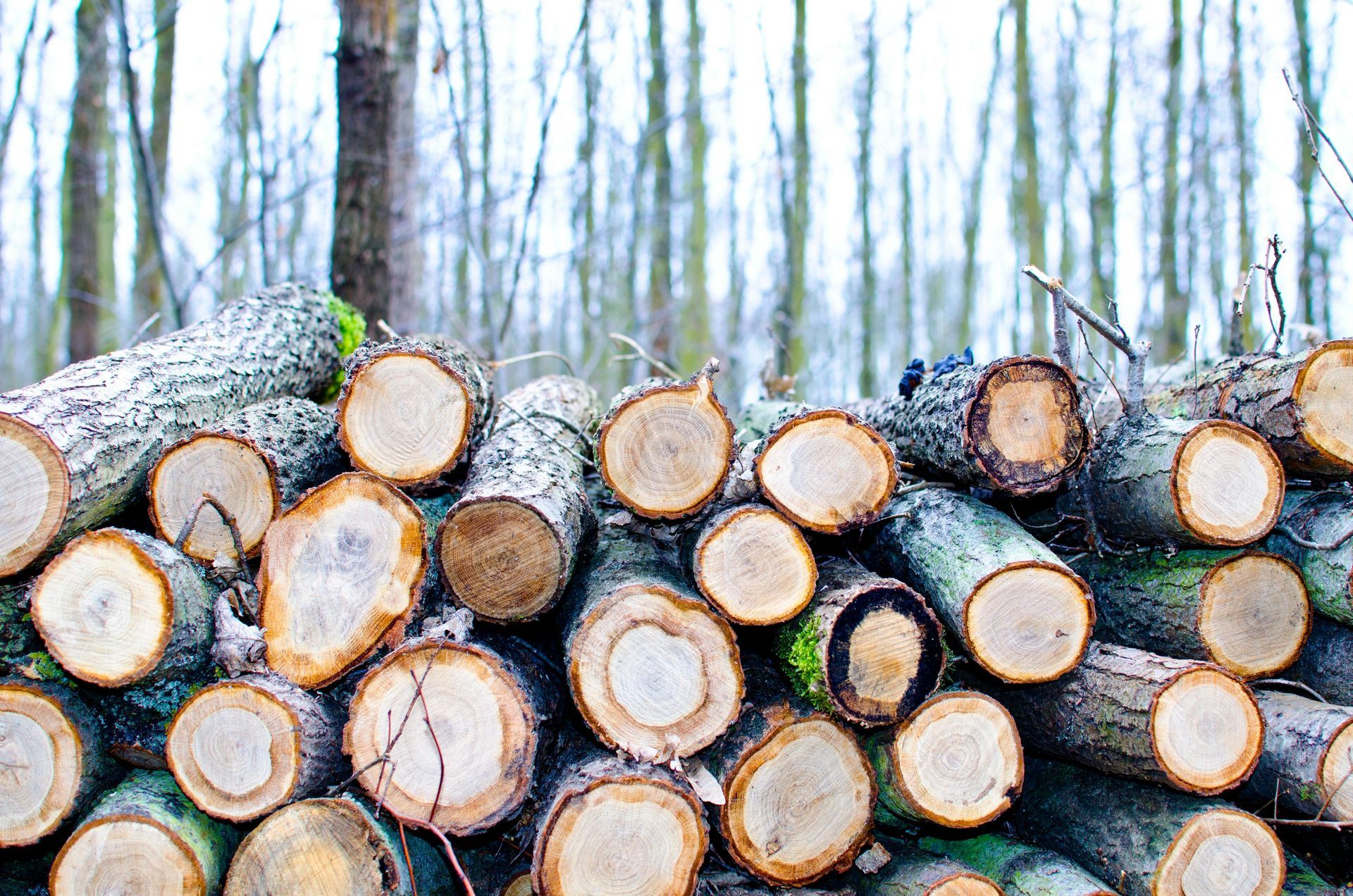
Tree height measurements help estimate timber volume. Accurate volume data improves harvest planning and valuation. You know exactly what your forest contains before making management decisions.
How Does Multispectral Sensing Improve Forest Assessment?
Multispectral cameras capture light wavelengths invisible to human eyes, revealing tree health, species composition, and stress indicators not apparent in standard photography.
Healthy vegetation reflects near-infrared light strongly. Stressed or diseased trees show reduced reflection in these wavelengths. Multispectral analysis detects problems before visible symptoms appear.
Species identification becomes easier with spectral data. Different trees reflect unique spectral signatures. Automated analysis classifies forest composition across large properties quickly.
Moisture stress shows clearly in multispectral images. This helps identify areas needing attention during dry periods. Early detection prevents tree mortality and value loss. Landowners seeking comprehensive property analysis find that drone forestry mapping services in Carbondale integrate seamlessly with traditional forest management practices for complete assessment solutions.
What Information Do High-Resolution Images Provide?
High-resolution drone imagery delivers detailed visual records showing individual trees, access routes, property boundaries, and site features at resolutions far exceeding satellite imagery.
Standard satellite images show 30 to 100 centimeters per pixel. Drone cameras capture one to five centimeters per pixel. This resolution reveals crown structure, dead branches, and damage invisible in satellite views.
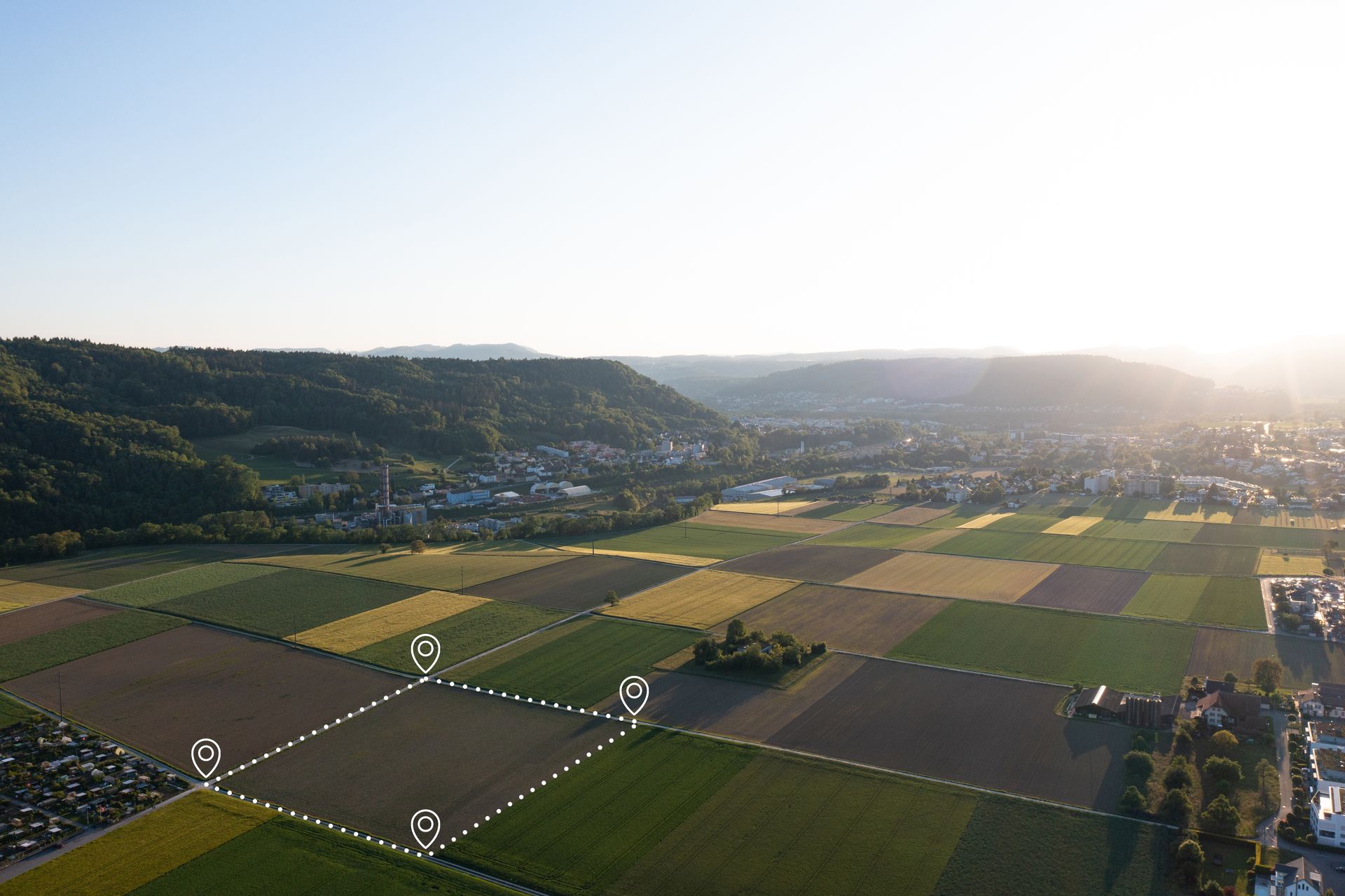
Property boundary verification becomes simple with clear imagery. You can identify fence lines, markers, and adjacent land uses. This prevents boundary disputes and encroachment issues.
Access planning uses imagery to map existing trails and identify new route options. Viewing terrain from above reveals the best paths for equipment before ground reconnaissance.
Do Southern Illinois Forest Types Require Specific Mapping Approaches?
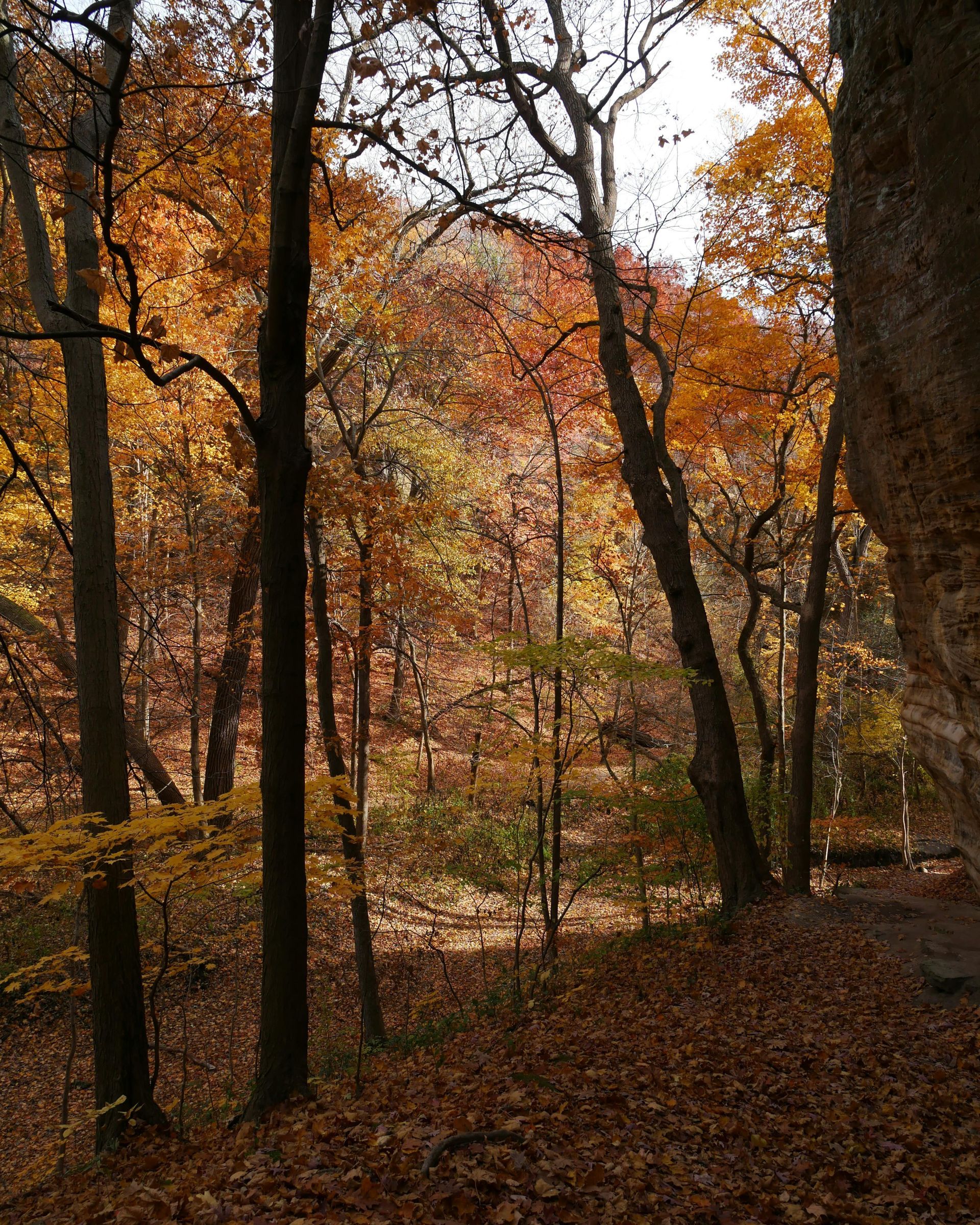
Southern Illinois mixed hardwood forests near Carbondale contain diverse species and variable terrain that benefit from multispectral analysis to differentiate oak, hickory, and other valuable timber species.
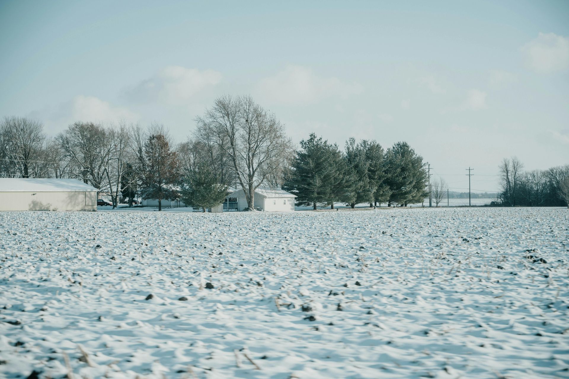
The Shawnee Hills region supports complex forest communities. Oak-hickory associations mix with bottomland species in valleys. Mapping these diverse stands requires technology that distinguishes species accurately.
Steep terrain in parts of southern Illinois creates challenging inventory conditions. Drone surveys reach areas difficult to access on foot. This ensures complete property coverage without safety risks.
Seasonal timing affects data quality. Leaf-off conditions in winter allow better ground visibility for LiDAR. Spring leaf-out provides optimal multispectral signatures for species identification.
Modern drone technology transforms forest management by providing detailed data that supports better decisions. Property owners gain comprehensive understanding of their woodland resources.
Explore how advanced forestry mapping reveals your property's full potential in Carbondale, IL. Request a drone assessment from Grade Timber by calling 606-454-0009 or investigate site development services in Carbondale for integrated land management solutions.