Monitoring Wildlife Habitats and Biodiversity Conservation with Grade Timber's Drone Services
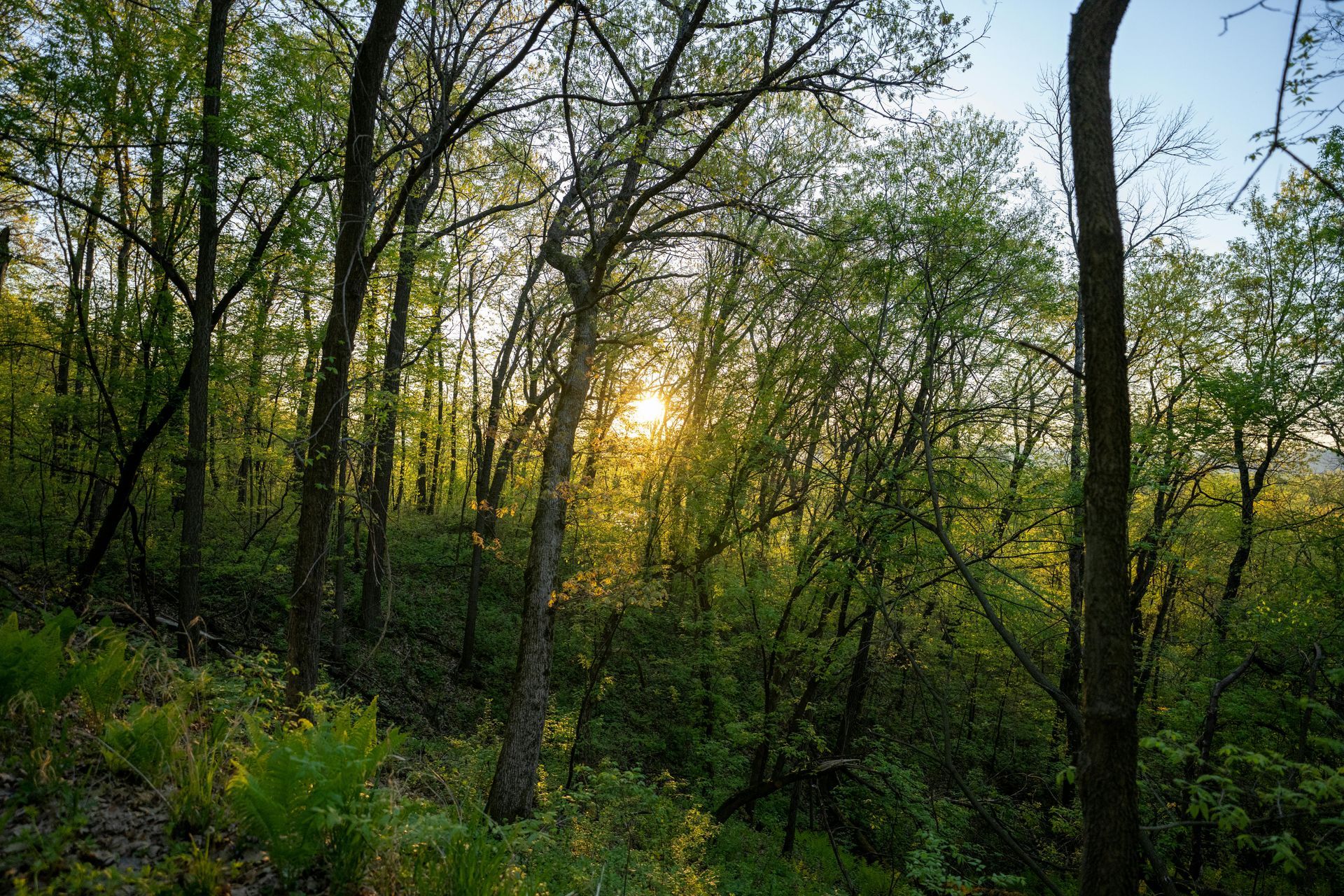
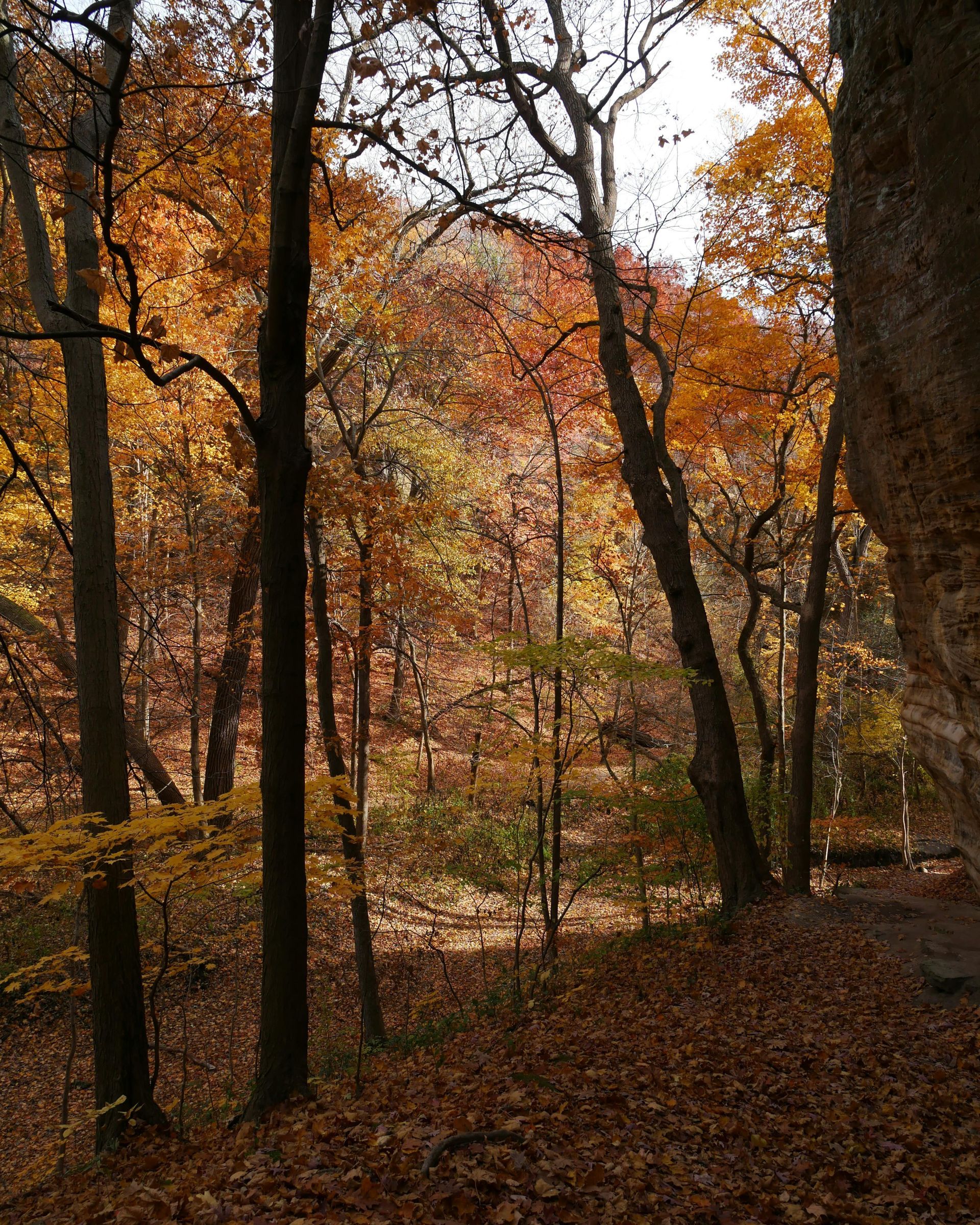
Illinois' woodlands are a vibrant tapestry of life, home to an array of wildlife from melodious songbirds flitting through the canopy to majestic white-tailed deer roaming the underbrush, and even elusive predators like coyotes and bobcats. For landowners in central and southern Illinois, conserving these habitats isn't just an ethical imperative—it's essential for maintaining ecological balance, supporting recreational activities like hunting and birdwatching, and ensuring the long-term health of their property. However, traditional habitat assessment methods, such as ground-based surveys or trail cameras, often prove intrusive, potentially stressing wildlife and yielding fragmented or incomplete data. Animals may alter their behavior in response to human presence, leading to biased observations, while dense foliage can obscure critical features. This is where Grade Timber emerges as a trusted provider of aerial drone mapping services, offering a non-invasive, high-tech solution that empowers landowners to monitor and conserve biodiversity effectively.
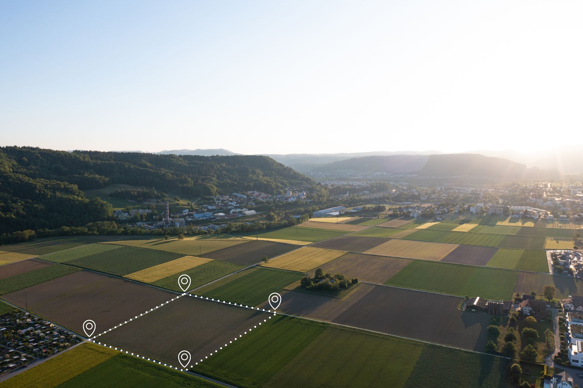
Grade Timber's forestry drone mapping services leverage advanced thermal and high-resolution imaging to provide a gentle yet comprehensive view of wildlife habitats. Thermal sensors, integrated into drones capable of handling heavy payloads up to 19 lbs, detect heat signatures from animals, allowing for the location of dens, nesting sites, or flocks without any physical disturbance. This is particularly valuable during sensitive periods like breeding seasons, where minimizing human impact is crucial. Complementing this, 100-megapixel cameras capture stunningly detailed images at resolutions of 11,664 x 8,750 pixels, with a dynamic range up to 83 dB. These cameras operate in RGB or achromatic modes, mapping out habitat features such as wetlands, thickets, riparian zones, and forest edges that are vital for biodiversity. By combining these technologies, landowners can create layered maps that reveal not just the physical layout but also thermal patterns indicative of animal activity, all while drones fly quietly at speeds up to 56 mph, covering up to 100 acres in flights lasting up to 43 minutes.
The process with Grade Timber is designed for efficiency and customization, starting with a free consultation where experts discuss your specific conservation objectives—whether it's protecting endangered species, enhancing pollinator habitats, or restoring degraded areas. During on-site data collection, drones equipped with multispectral and thermal sensors are deployed, ensuring minimal presence on the ground. The extended flight times and real-time first-person views allow for precise navigation through challenging terrains like steep ravines or flooded bottomlands common in Illinois. Safety features, including continued operation even in the event of motor failure, guarantee reliable data gathering without risking equipment or the environment. Following collection, Grade Timber delivers detailed reports that include interactive maps, habitat quality assessments, and identifications of wildlife corridors or areas of fragmentation. These insights highlight connectivity issues, such as barriers created by old logging roads, enabling targeted planning to restore pathways for migration.
Delving deeper into the benefits, Grade Timber's services reveal intricate usage patterns that inform proactive conservation strategies. For instance, thermal imaging might uncover nocturnal animal trails or roosting sites for bats, which are critical pollinators and insect controllers in Illinois forests. This data allows landowners to plan enhancements like planting native food sources—such as berry-producing shrubs for birds—or creating brush piles for small mammals. Moreover, by supporting eco-friendly practices, these services can help qualify properties for grants, incentives, or certifications from organizations like the Illinois Department of Natural
Resources or federal programs under the Farm Bill. In a state where invasive species like bush honeysuckle or garlic mustard threaten native biodiversity, drone mapping tracks their spread and impact on wildlife, facilitating precise removal plans that minimize collateral damage to habitats.
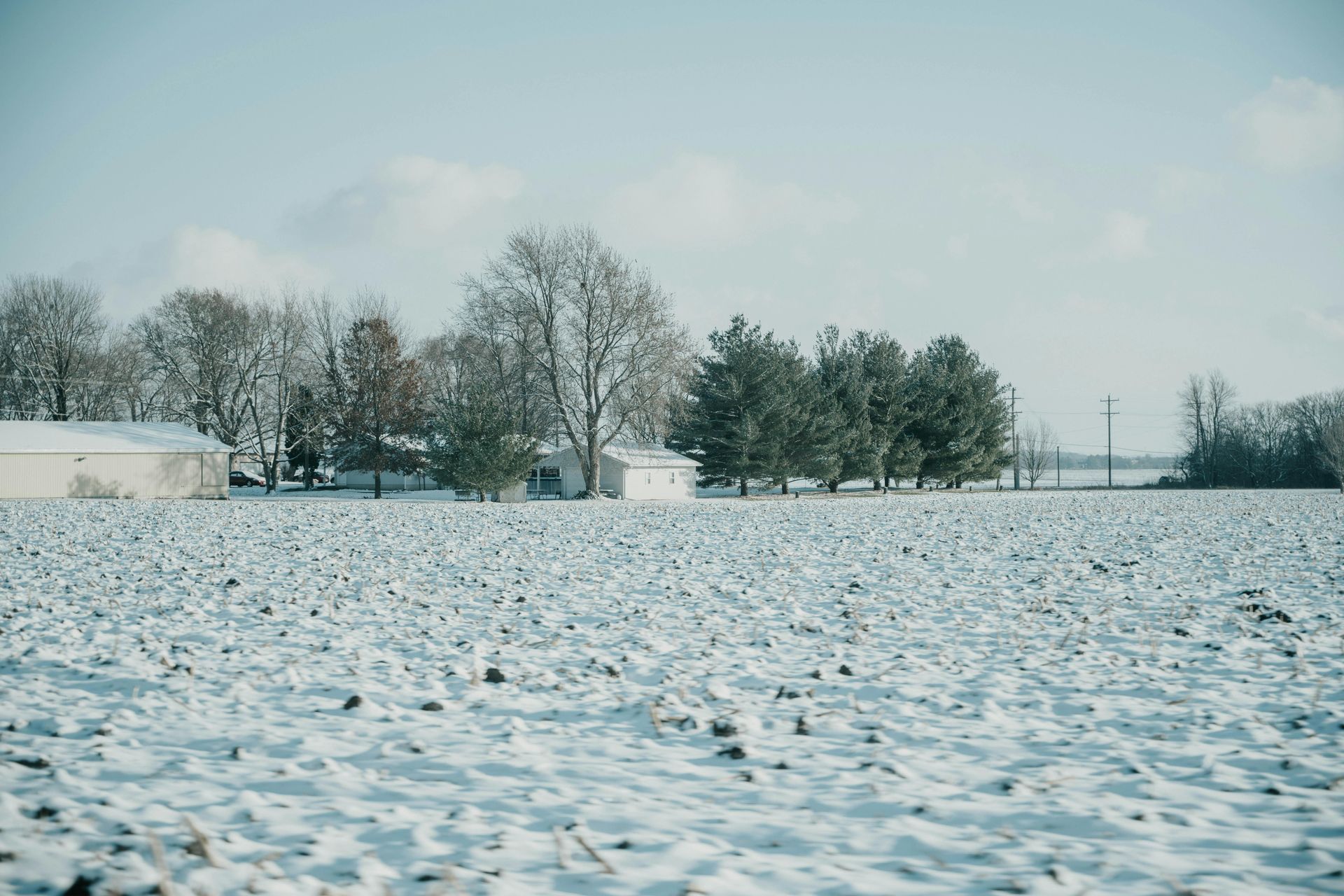
Illinois-specific applications are particularly compelling. The state's diverse ecoregions, from the Shawnee National Forest's rugged hills to the flat prairies of central
Illinois, host unique assemblages of species. Drone services can monitor how climate change affects these, such as shifting migration patterns due to warmer winters, allowing landowners to adapt by creating resilient buffer zones. Integration with LiDAR provides 3D models of canopy structure, assessing vertical habitat layers that support different trophic levels—from ground-dwelling amphibians to arboreal squirrels.
The drones' quiet operation and endurance ensure truly minimal impact, preserving the natural behaviors you're aiming to study. Data connectivity via USB-C and 10G Ethernet means rapid transfer and analysis, turning raw captures into actionable intelligence quickly.
Neglecting advanced monitoring carries significant risks: undetected habitat degradation can lead to species loss, reduced ecosystem services like water filtration, and diminished property value. Over time, this might result in regulatory scrutiny or lost opportunities for sustainable income streams like ecotourism. Grade Timber empowers landowners to preserve and enhance their land's biodiversity, building a legacy of stewardship.
To secure your land's ecological future, contact Grade Timber at www.gradetimber.com for a free consultation. With their expertise in logging, land clearing, and timber buying across thousands of acres, they understand the nuances of Illinois forestry. Start monitoring your wildlife habitats smarter today and contribute to a thriving natural heritage.